Denver has a ton of hiking opportunities, but there’s a downside to many of them in the summer – there’s no shade.
With temperatures of 90°+ and high altitude, having no protection from the sun isn’t much fun. I’m not a big fan of being out in the sun and neither is our dog Truffles, so I searched online for trails in Denver with shade and Lair O’ The Bear Park seemed like a good option.
It ended up being even better than I’d been expecting. Not only is there plenty of shade, but it’s a simply beautiful hike along Bear Creek and if you continue up to Panorama Point there are stunning views of the area from the top. Not to mention the fact that you’ll see a castle along the way.
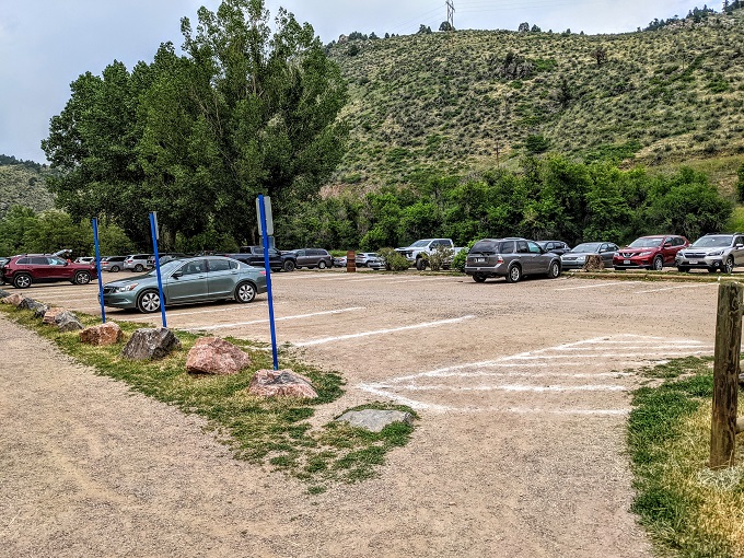
Lair O’ The Bear Park seems to be a popular place to visit, particularly at weekends. There’s a sizeable parking lot though, so even though it was busy the second time we visited on a Saturday (our first visit was midweek), there were still several spaces available. It’s free to visit Lair O’ The Bear Park and there’s no fee to use the parking lot either.
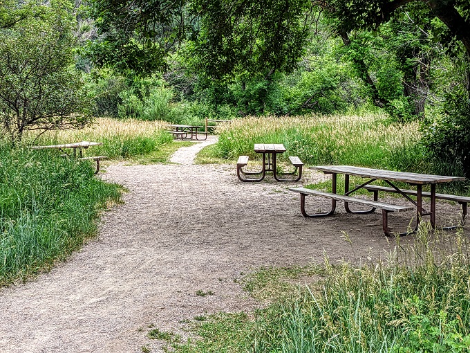
There are picnic tables if you want to have some food before or after your hike, but I’d recommend having a picnic down by Clear Creek as there are lots of lovely spots by the water to do that.
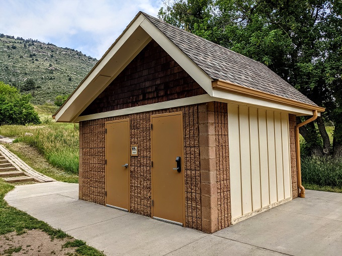
There are a couple of restrooms available as well.
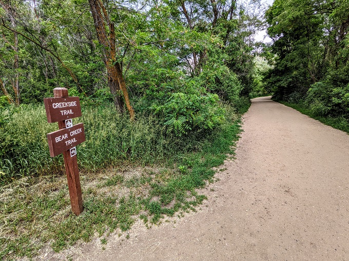
There are a few trails in the park, with the Bear Creek Trail being the main one.
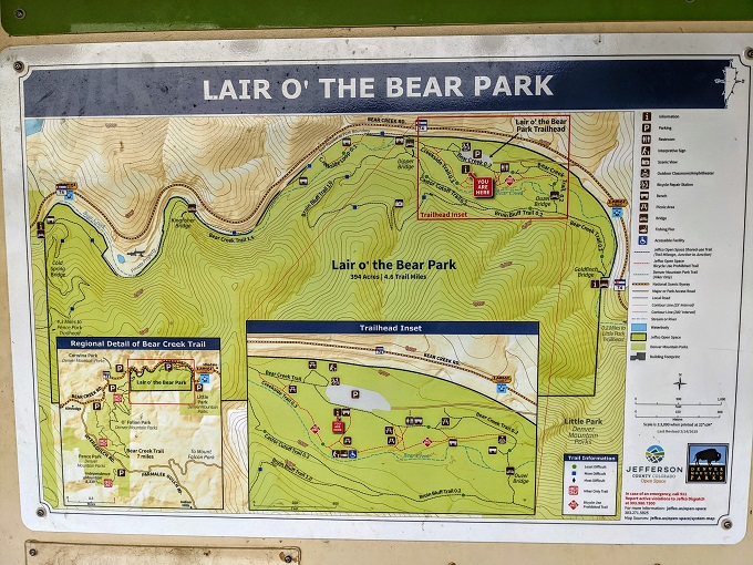
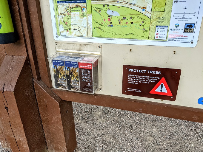
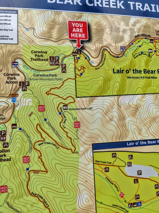
There’s a noticeboard with the map above by the parking lot, but they also have maps you can take with you. It seemed like it’d be hard to get lost there, but there’s no harm having a map anyway.
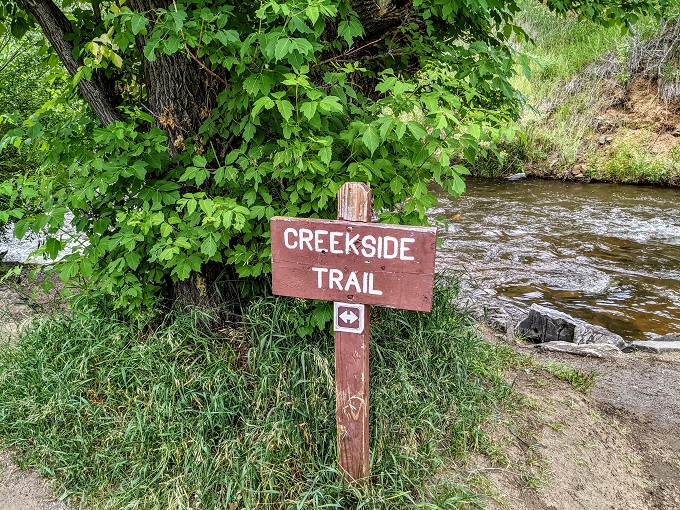
On our first visit to the park we arrived at about 1:30pm, so we headed down to the Creekside Trail to find somewhere to have lunch.
While we ate there were rumblings of thunder in the distance. That seems to be a pretty common thing for the Denver area though, so we started making our way along the Bear Creek Trail. The first 1.25 miles or so of the Bear Creek Trail is nice and flat, so it’s an easy walk if you’re looking for something not too strenuous.
After a short distance there was a bridge leading to the Bruin Bluff Trail. We didn’t check out that trail on either of our two visits, so I’m not sure what it’s like.
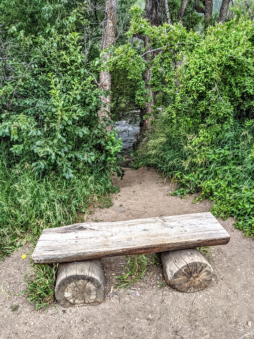
A little side trail that we did take though was Creekside Loop. This isn’t very long, but takes you along Bear Creek for a short distance before rejoining Bear Creek Trail.
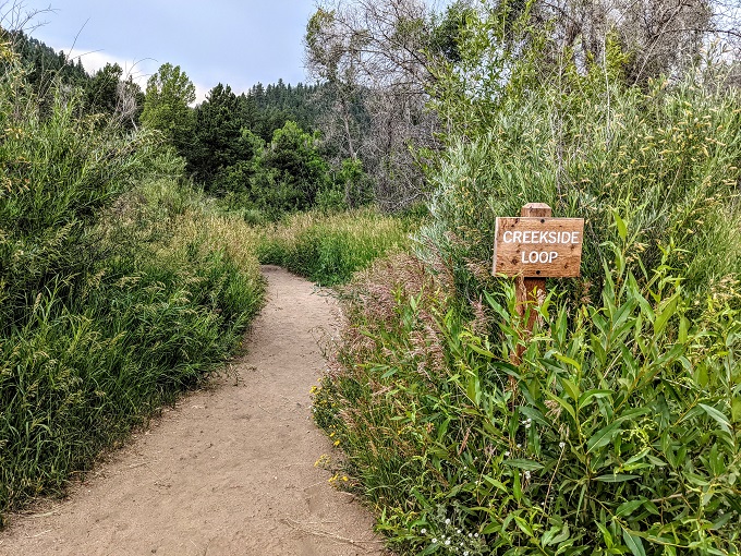
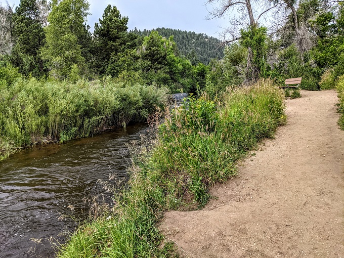
As you can see in the photo above, there’s a bench were you can sit and enjoy the view on the Creekside Loop trail. There’s another bench back on Bear Creek Trail where you can do the same.
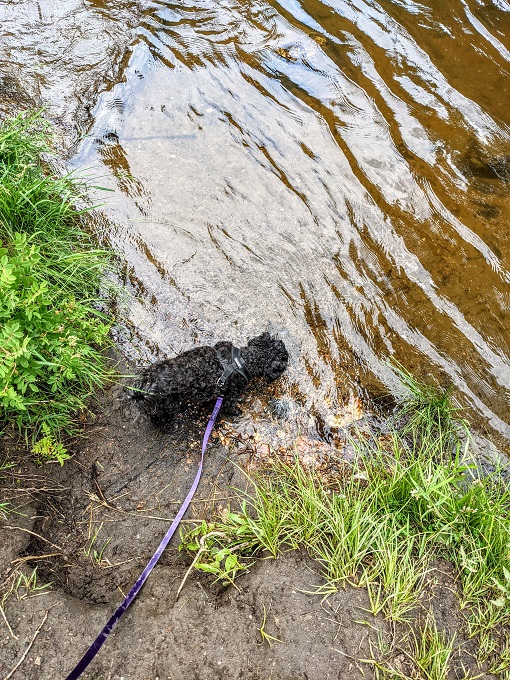
Further along there’s a shallow creek that flows across the trail.
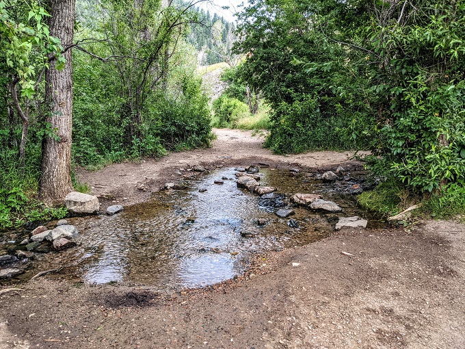
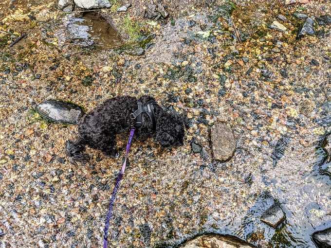
This is good for pups who want to dip their paws in the water and rehydrate.
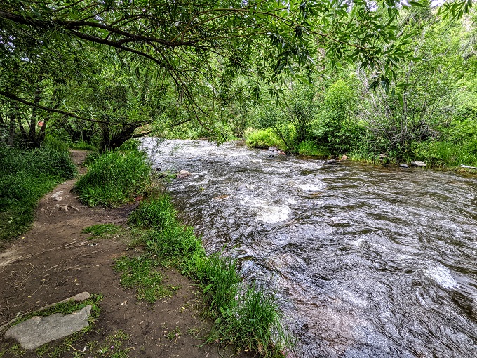
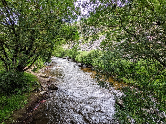
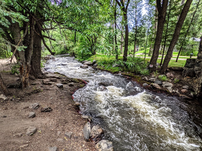
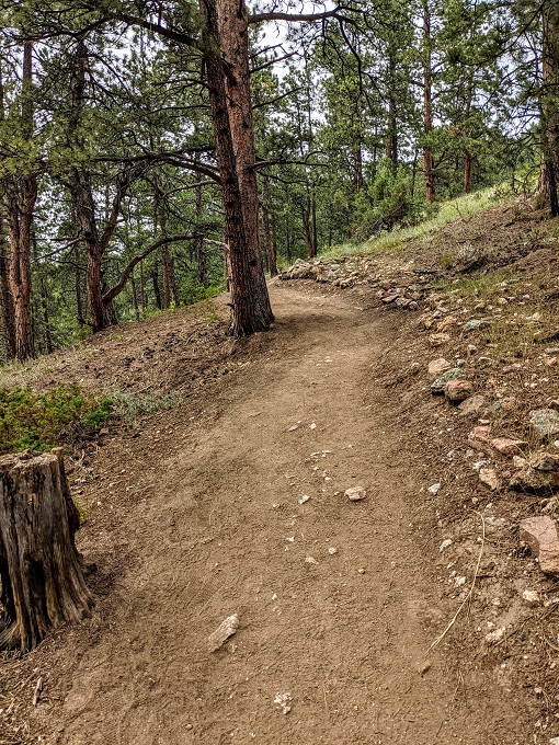
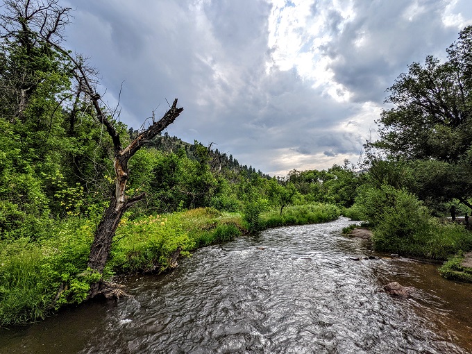
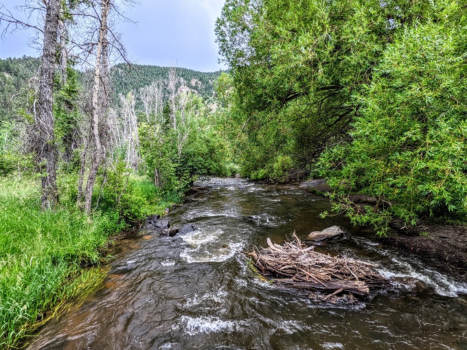
The trail continues along Bear Creek with a decent amount of shade along the way. The creek flowing alongside the canyon wall made it a lovely setting for a hike.
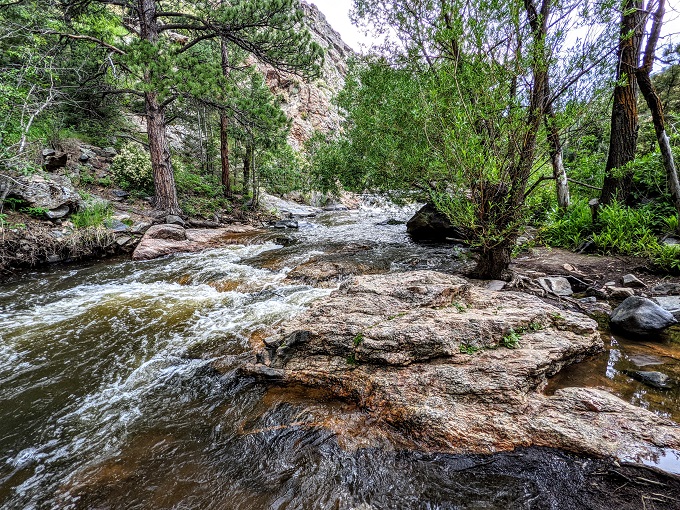
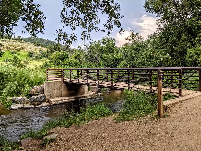
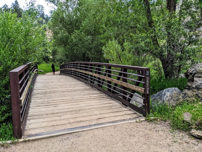
The creek winds through the park, so you have to cross over a few bridges along the route.
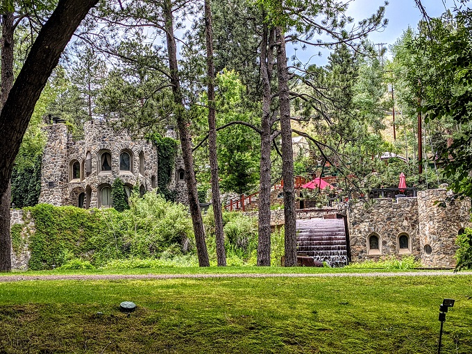
One of the reasons I chose Lair O’ The Bear Park is because I’d seen online that it had a good amount of shade. Another reason is because it gives you an opportunity to see a castle.
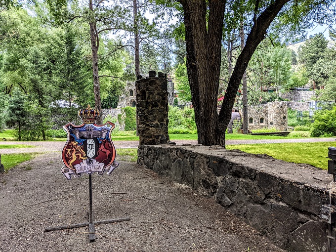
Yep, just outside of Denver is Dunafon Castle. It’s on the other side of the creek and is on private property, so you can’t wander the grounds unfortunately.
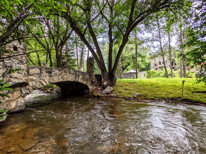
It’s used as a wedding venue and it’s not hard to see why as it’s so picturesque and must make for some spectacular wedding photos.
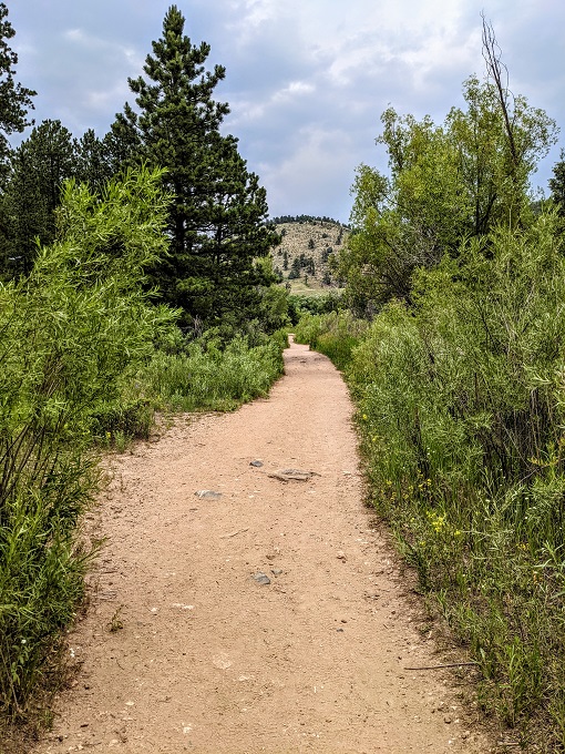
The flat trail then continues west, although it starts moving away from the creek a little.
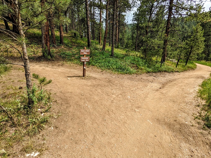
Something like 0.25 miles later the trail splits off. Continuing straight takes you towards Corwina Park…
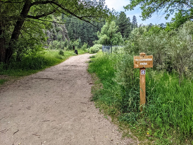
…while Bear Creek Trail continues uphill to the left.
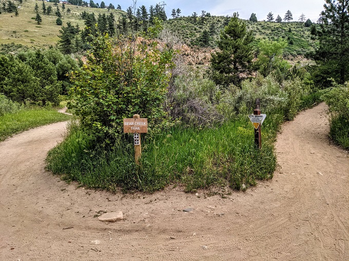
At this juncture there’s a map showing where you are and where the different trails lead to. The trail leading towards Corwina Park is the one that heads west, while the Bear Creek Trail is the one leading south.
The map might be a little misleading because it makes it look like the initial section of Bear Creek Trail heading south is 1.3 miles until you reach the trail leading to Panorama Point. Based on the Map My Fitness app though, it was closer to two miles. I don’t think the app was off by 0.7 miles, so bear in mind that the hike might be a little longer than the map indicates if you want to hike to Panorama Point.
Truffles and I weren’t initially planning on hiking to Panorama Point, but I figured we might as well head that direction for a while to see what the trail was like (this was before I knew how much longer the trail actually was).
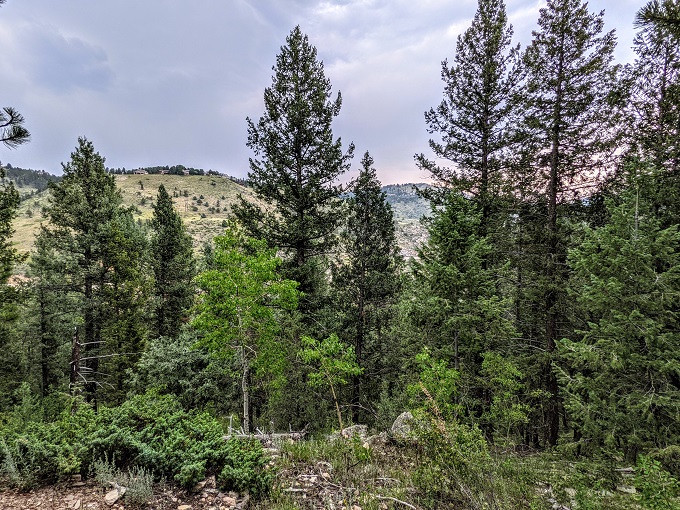
As we headed uphill though, the thunder we’d heard earlier at lunch got closer. And closer. It then started raining and heading up a mountain during a thunderstorm didn’t seem like a bright idea, so we headed back downhill. Although the trail is nice because the trees provide some shade, it wasn’t enough cover to prevent us from getting wet.
With our plans foiled, we returned a week or two later when better weather was forecast so we could hike all the way to Panorama Point. It was cooler and overcast that day, but no thunderstorm was expected.
We therefore rehiked the section we’d done previously and continued uphill. The trail is very popular with mountain bikers, so keep your eyes and ears out for them coming downhill at speed and around corners.
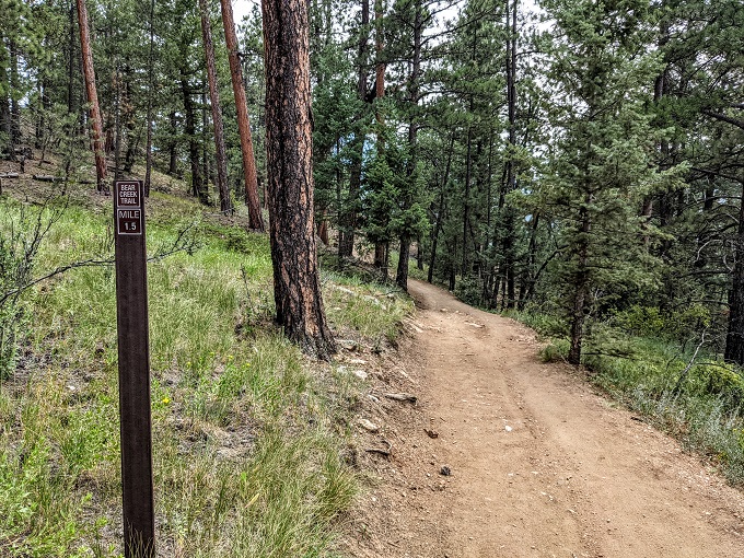
Another reason I think the Map My Fitness app was measuring the distance correctly is because there was a 1.5 mile marker along the trail as we headed up.
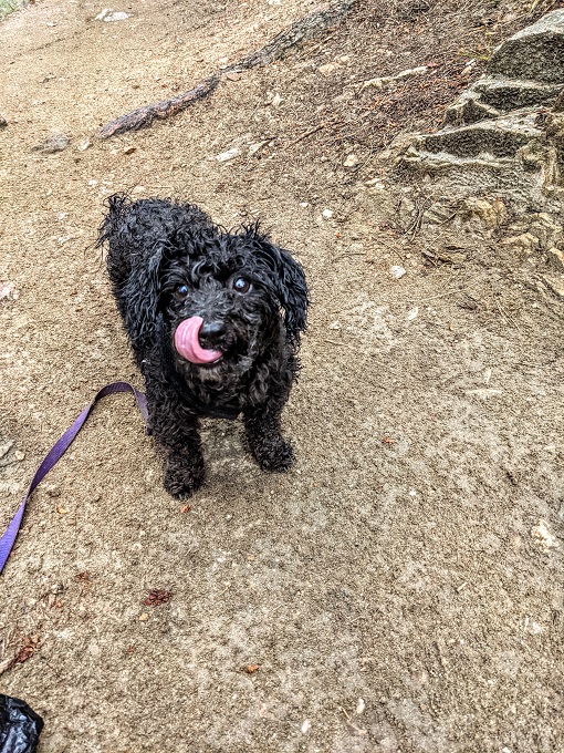
Not too long after this marker Truffles sat down. Then she laid down in the dust and refused to move any further. She’s hiked 10 miles before, so the fact that we’d only done about 3 miles that day made me think something else was up.
Sure enough, it was hunger. I’d been planning on having lunch once we reached Panorama Point, but I was feeling peckish too by that point, so we stopped for an early lunch at the side of the trail as there was a nice large rock to sit on.
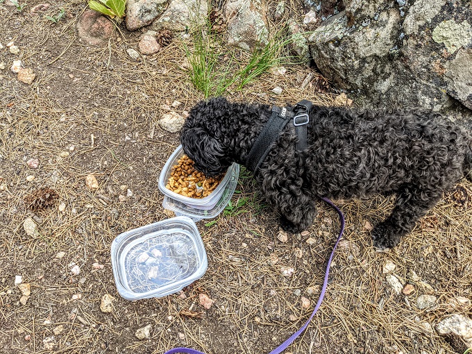
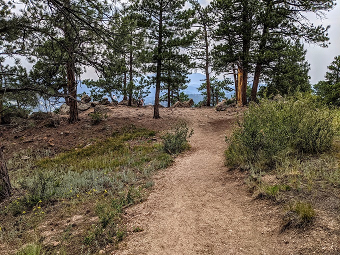
After inhaling her food, Truffles was good to go. It wasn’t too long before we reached the Panorama Point Trail which branched off to the left.
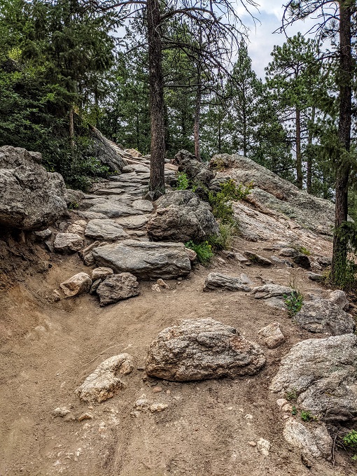
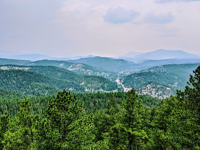
This is about 0.5 miles long, but it was the hardest 0.5 miles of the day. I think the Panorama Point Trail was a little steeper than the Bear Creek Trail, plus the elevation only gets greater as you go along. By the time you reach Panorama Point you’re at 7,340 feet above sea level which is about 2,000 feet higher than the Mile High City of Denver.
We’d been in Colorado for about 1.5 months and so were already somewhat acclimatized to the altitude, but I had to take several breathers along this 0.5 mile stretch which I hadn’t really needed along the Bear Creek Trail itself.
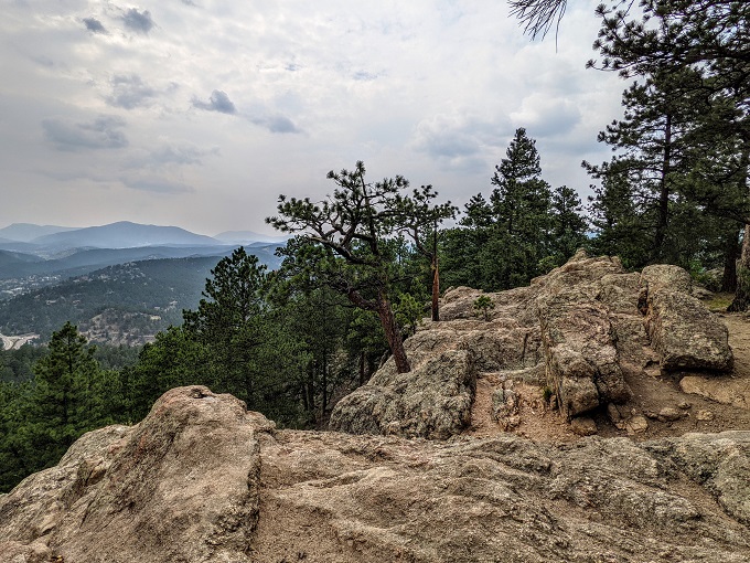
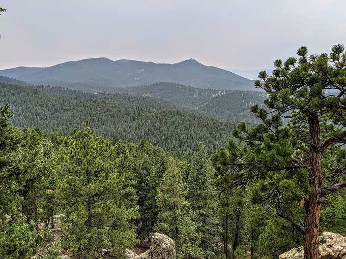
It was therefore a relief when we finally reached Panorama Point.
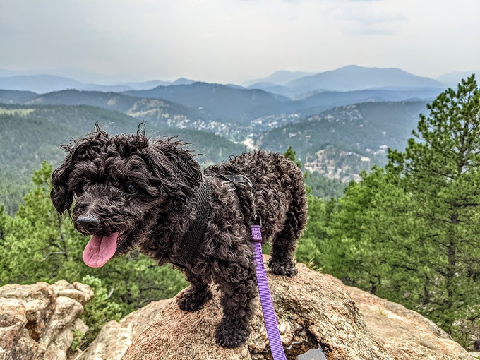
The effort it had taken to get up there was worth it when we saw the views.
Truffles seemed to be pretty happy about the view too!
Provided Map My Fitness had measured everything correctly, it was pretty much exactly 4 miles from the parking lot to Panorama Point, so an 8 mile round trip.
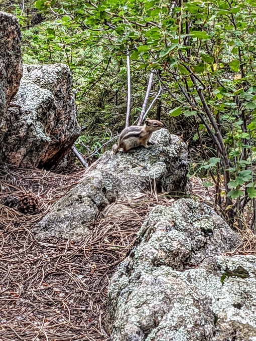
Keep an eye out on the Panorama Point Trail (and the Bear Creek Trail to an extent) as there were lots of cute little chipmunks.
Truffles and I were done by the time we got back to the parking lot the second time we visited Lair O’ The Bear Park having hiked 8 miles. The first time we visited though we hadn’t hiked as far due to our trip up to Panorama Point being cut short by the thunderstorm.
The storm had pretty much passed by the time we got back to the parking lot that time, so we (well, I) decided we should take the rest of the Bear Creek Trail in the opposite direction as it’s not too long when going that way.
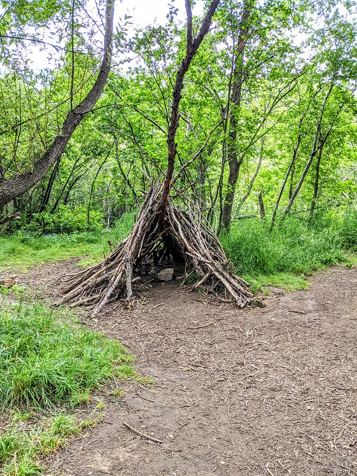
After crossing a bridge the Bear Creek Trail heads off to the left towards Little Park, with the path to the right going towards the Bruin Bluff Trail. We headed towards Little Park.
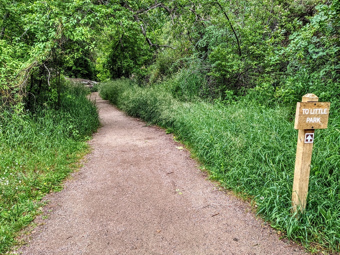
Kids might like this route too as there was a shelter they could play in off to the left.
We kept going until we reached Goldfinch Bridge, then we turned back.
Final Thoughts
I loved hiking at Lair O’ The Bear Park. Its elevation means it’s a few degrees cooler than Denver itself, plus there’s a decent amount of shade along the trails.
It’s also an incredibly beautiful setting. With a rushing creek, canyon walls, a castle, a great overlook at Panorama Point and more, it’s a perfect place to go hiking in the Denver area.
[…] Our first hike up to Panorama Point was cut short due to a thunderstorm, so we returned another day and made it up there. It was worth the effort as there were some beautiful views. Here’s more about our hikes at Lair O’ The Bear Park. […]