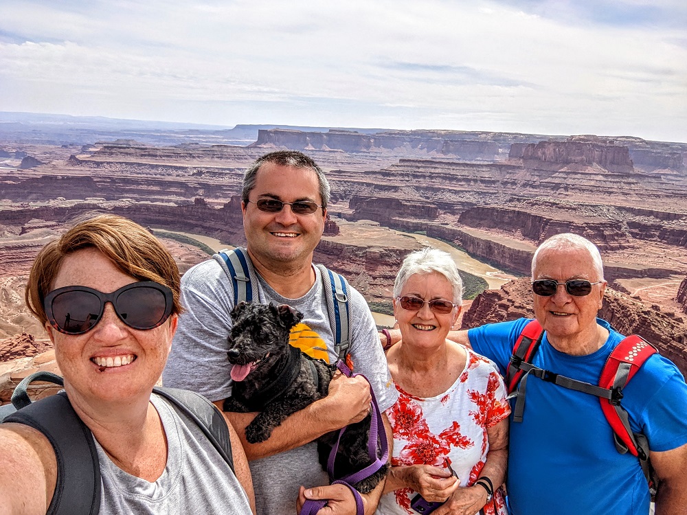
On our penultimate day in Monticello, UT (about an hour south of Moab), we decided to go and explore Dead Horse Point State Park.
We’d already had it on our list of possible things to do, but when in Montrose, CO last summer I got chatting to a couple at a dog park. They couldn’t recommend it highly enough as they said it was one of the best places they’d visited in Utah, so I didn’t want us to miss out on somewhere that sounded so great.
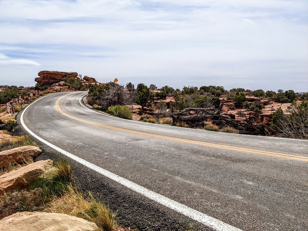
Dead Horse Point State Park is right next to Canyonlands National Park which we’d visited a few days beforehand. To get to both of them, you take US-191 north from Moab, then turn left on SR-313. The road continues straight to the Island in the Sky district of Canyonlands, with a left turn before reaching Canyonlands taking you to Dead Horse Point State Park.
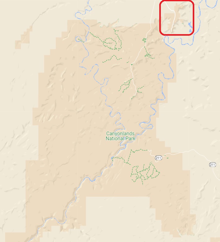
The State Park is much smaller than the National Park next door – you can see Dead Horse Point State Park in the red square below next to the much more expansive Canyonlands.
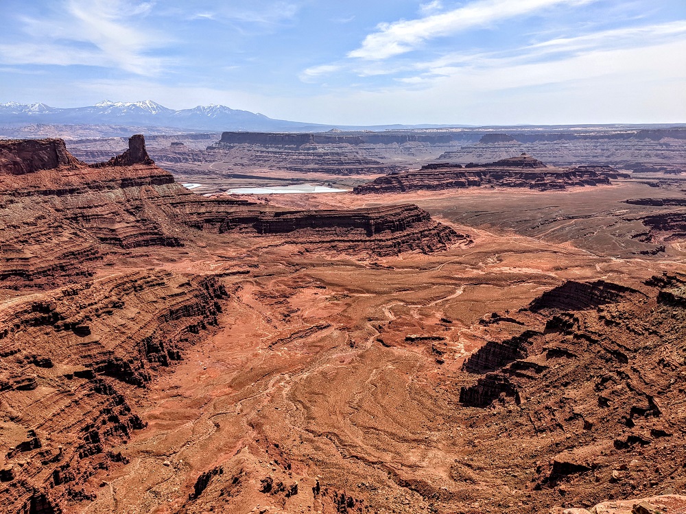
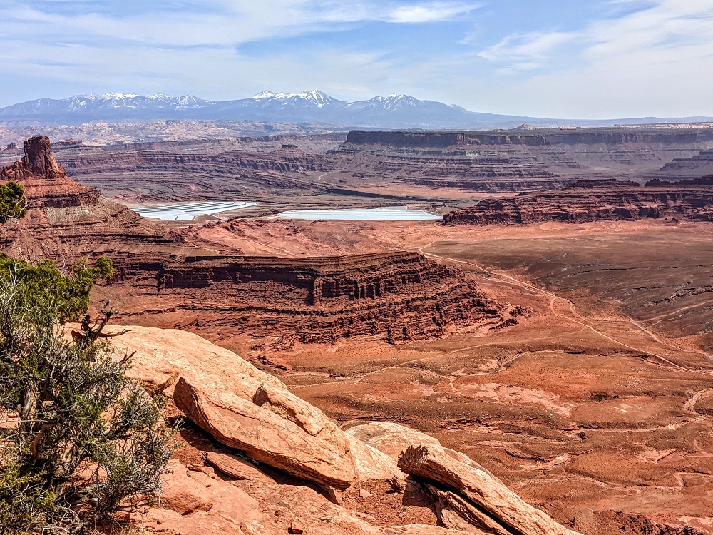
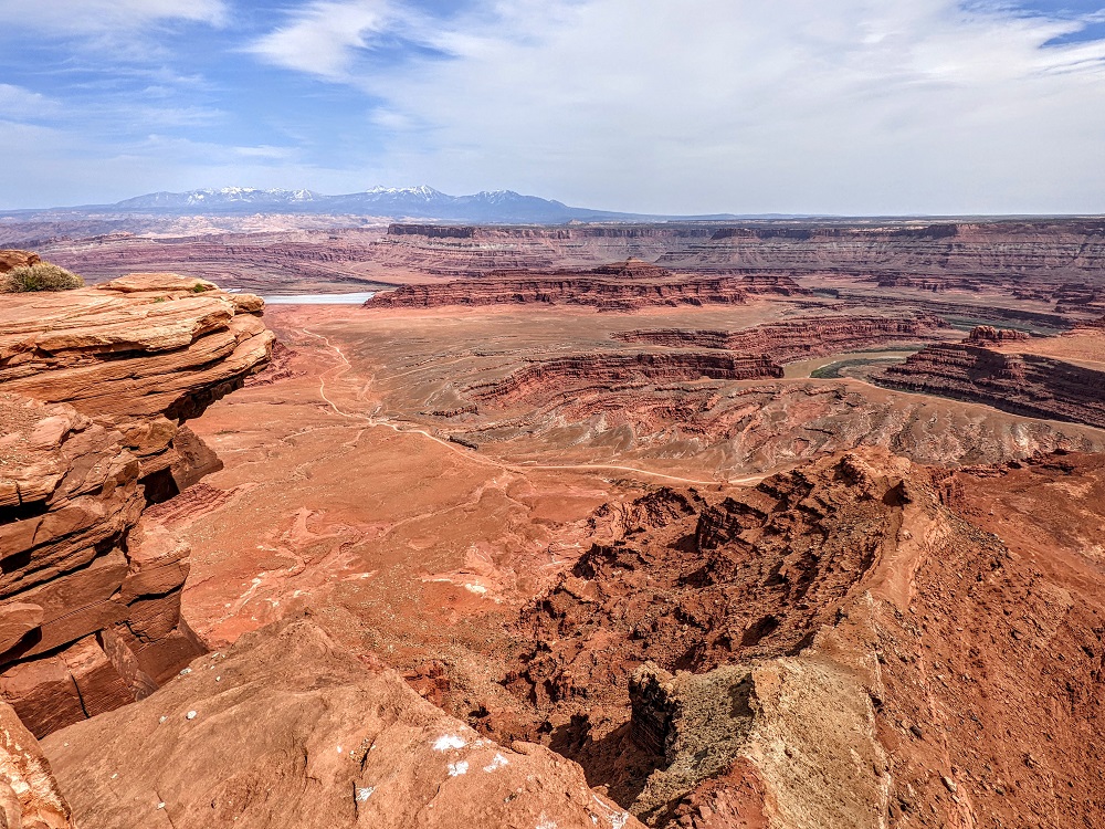
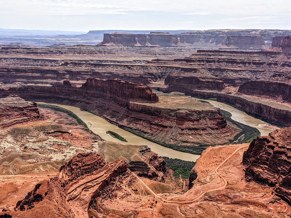
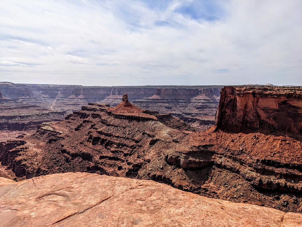
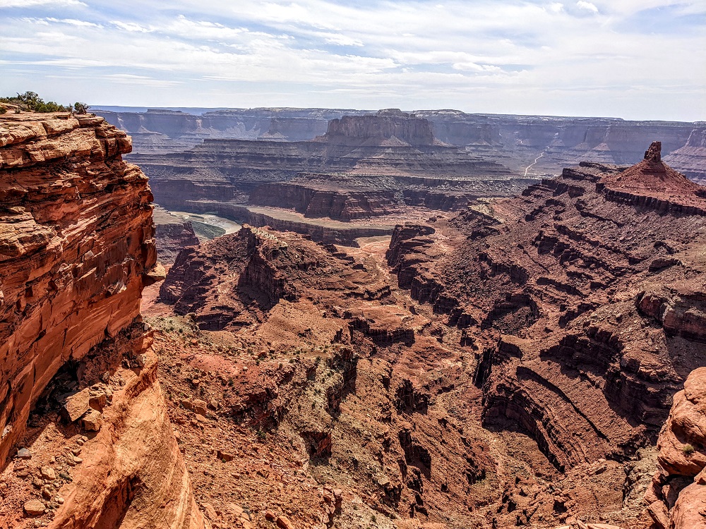
Small can be beautiful though and Dead Horse Point is no exception. Seeing as it’s right next to Canyonlands, it has similarly spectacular views of the canyons below with the La Sal Mountains as a backdrop.
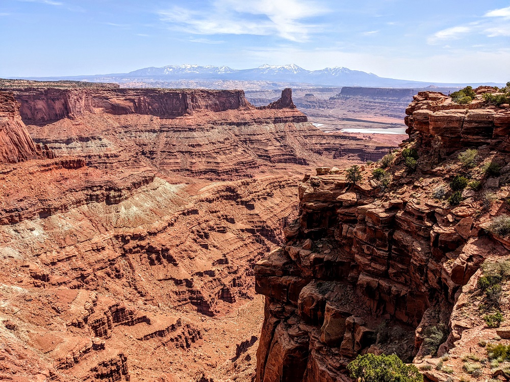
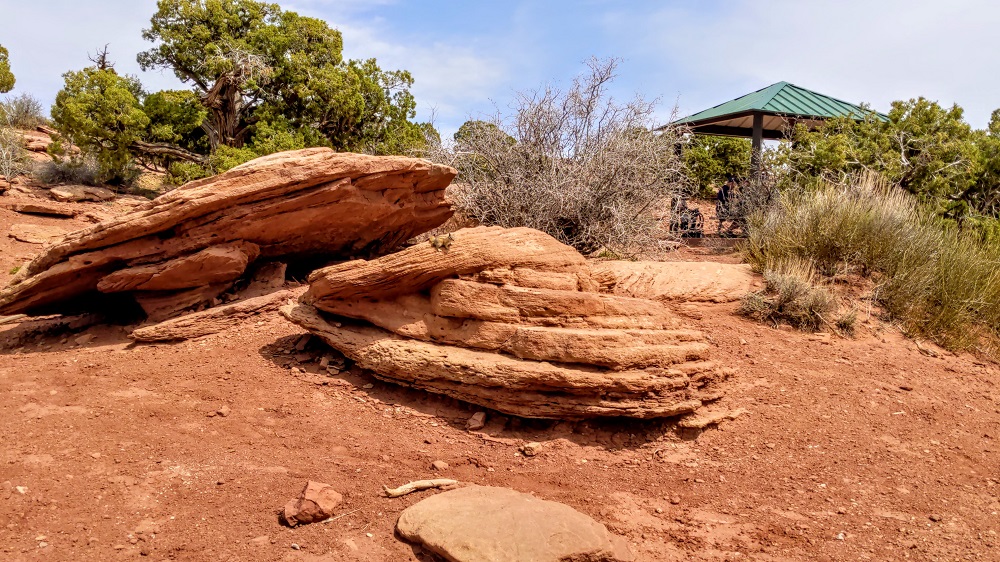
That’s the view you get on the path leading up to the visitor center.
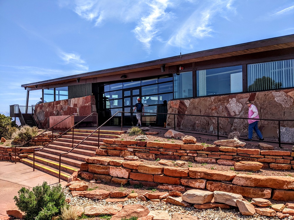
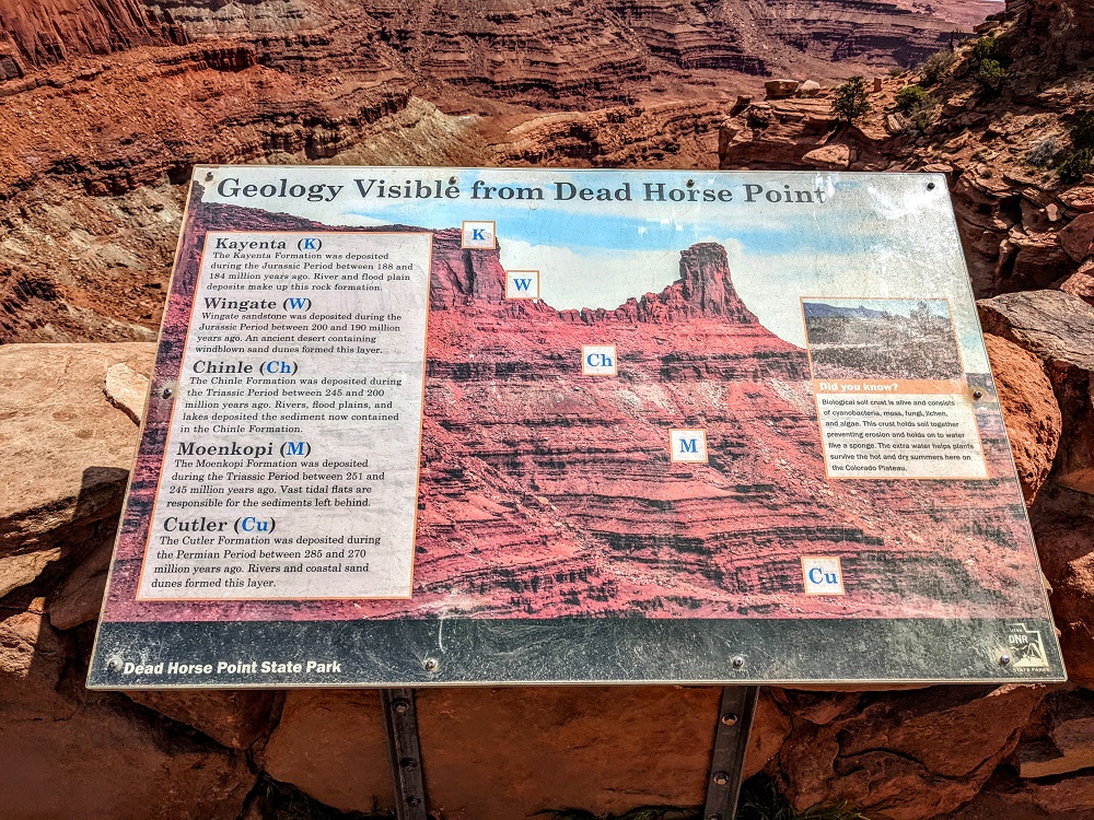
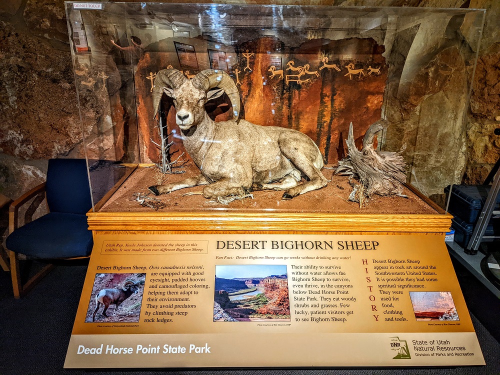
It’s worth stopping inside the visitor center as there are some exhibits in a museum section, along with a short video you can watch providing more information about the park.
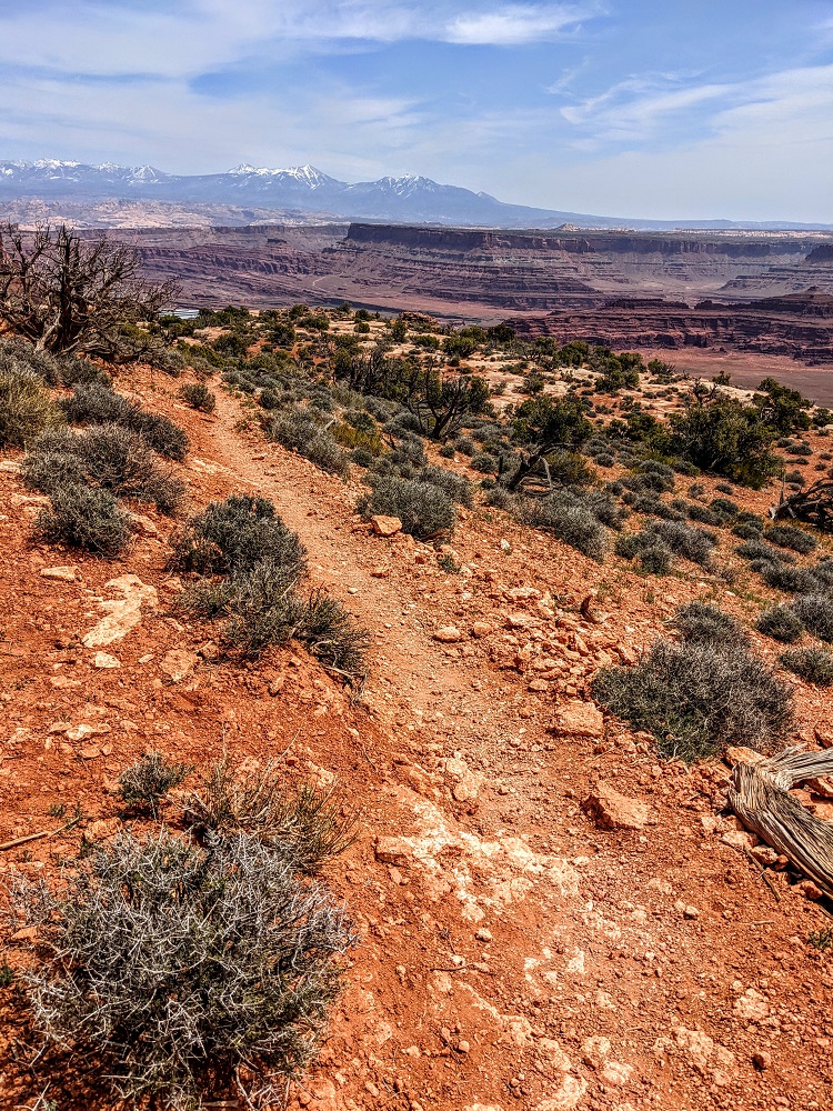
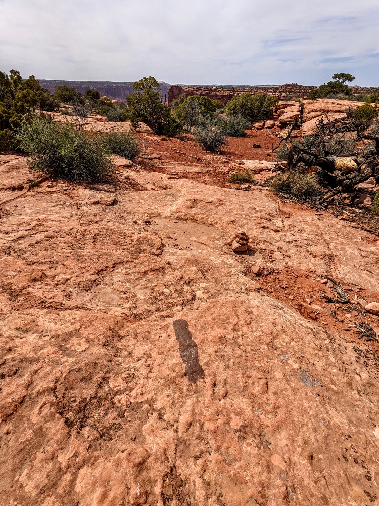
The park has a number of different trails, with additional side trails leading off to overlooks.
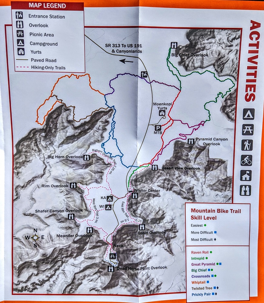
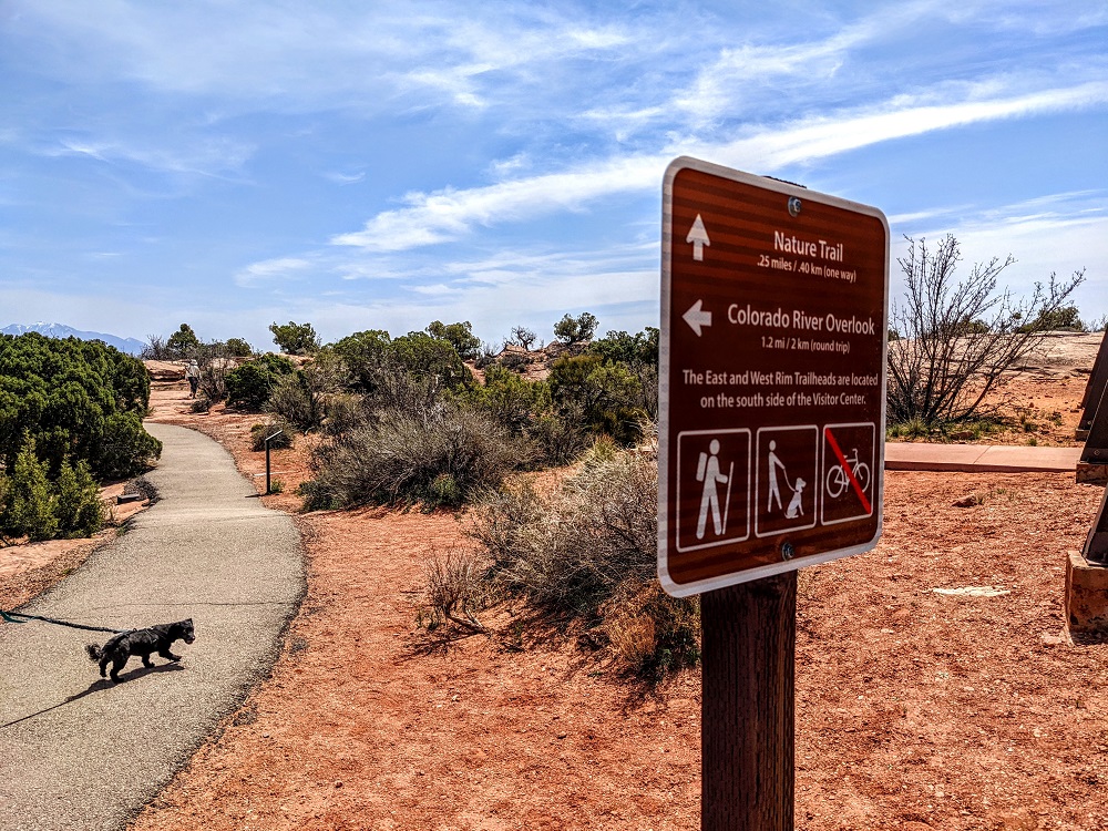
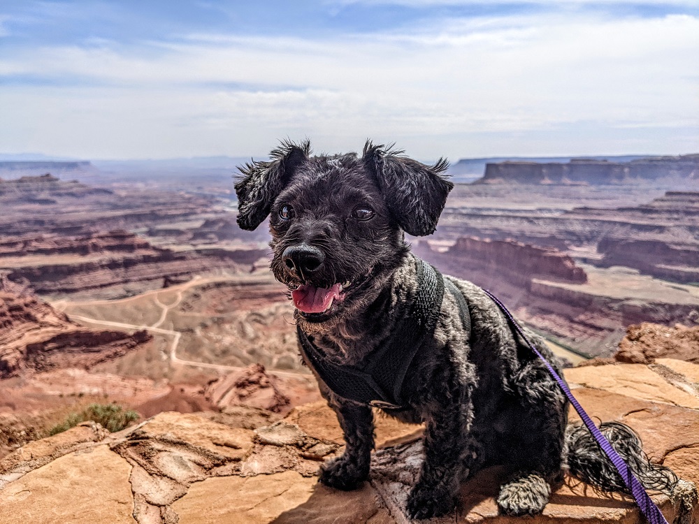
We decided to start off by ambling along the 0.25 mile long Nature Trail. One of the great aspects of this being a state park is that it was much more pet-friendly than Canyonlands National Park. Dogs are allowed on the hiking trails at Dead Horse Point State Park, although they’re not allowed on the Intrepid Mountain Biking Trails.
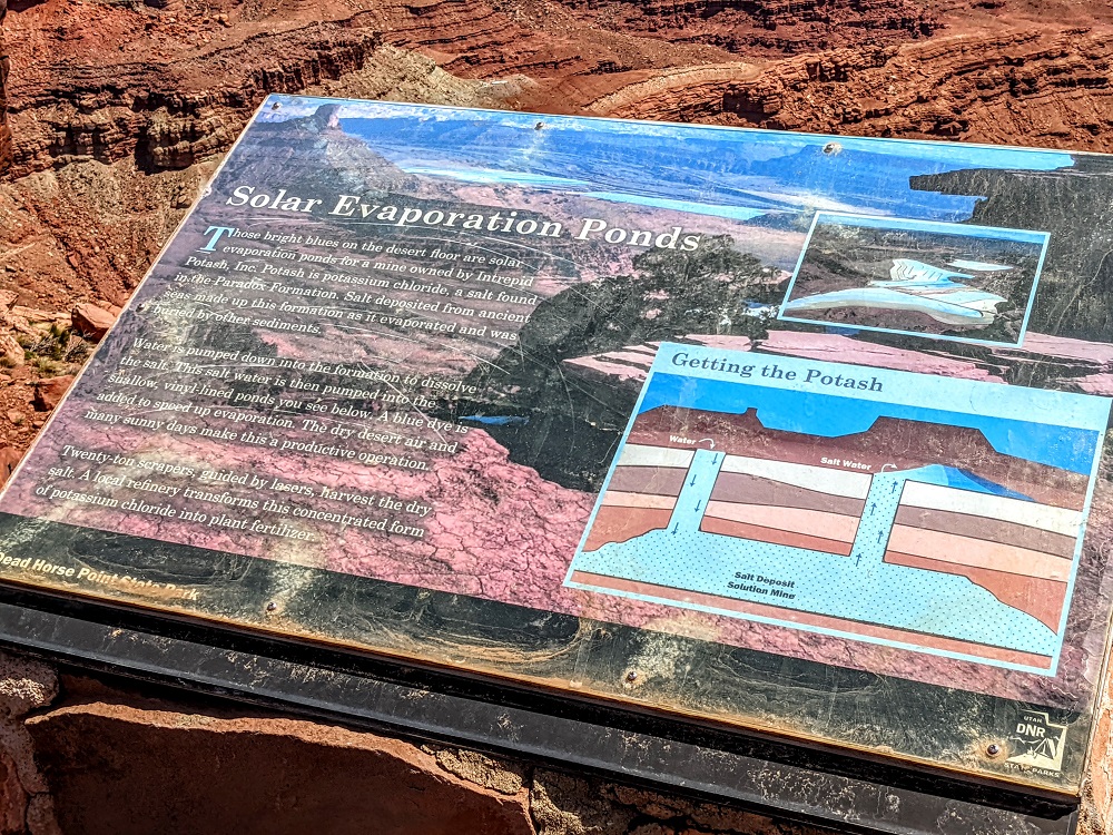
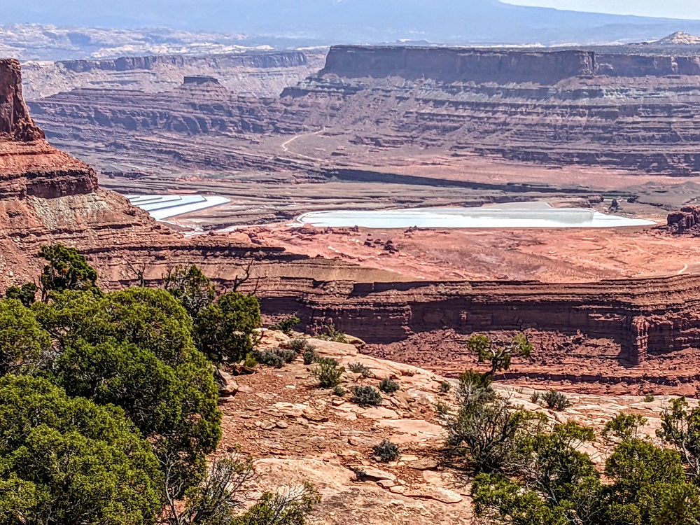
While on the Nature Trail we could see some solar evaporation ponds in the distance.
There was a sign that explained what was being done with the solar evaporation ponds. In case you can’t read the text in the photo below, here’s how the process works:
Those bright blues on the desert floor are solar evaporation ponds for a mine owned by Intrepid Potash, Inc. Potash is potassium chloride, a salt found in the Paradox Formation. Salt deposited from ancient seas made up this formation as it evaporated and was buried by other sediments.
Water is pumped down into the formation to dissolve the salt. This salt water is then pumped into the shallow, vinyl-lined ponds you see below. A blue dye is added to speed up evaporation. The dry desert air and many sunny days make this a productive operation.
Twenty-ton scrapers, guided by lasers, harvest the dry salt. A local refinery transforms this concentrated form of potassium chloride into plant fertilizer.
East Rim Trail
At the end of the Nature Trail we made a mistake. We decided to continue along the East Rim trail for a little while, but without any firm plans of how far we’d go. There’s a road that leads up to Dead Horse Point overlook, but we weren’t sure initially whether we’d walk all that way, or if we’d take the East Rim trail for a little while, then head back to the visitor center parking lot to drive up to Dead Horse Point.
The reason this was a mistake is because even though we brought our lunch and some water with us, we left some of our water back in the car. It was a hot day and subsequent choices meant we wished we’d carried all the water with us.
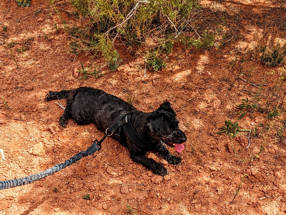
It was a hot, sunny day, so Truffles took advantage of what little shade there was on the trail as much as she could (n.b. we had plenty of water for her, so she ended up being the best hydrated one out of all of us).
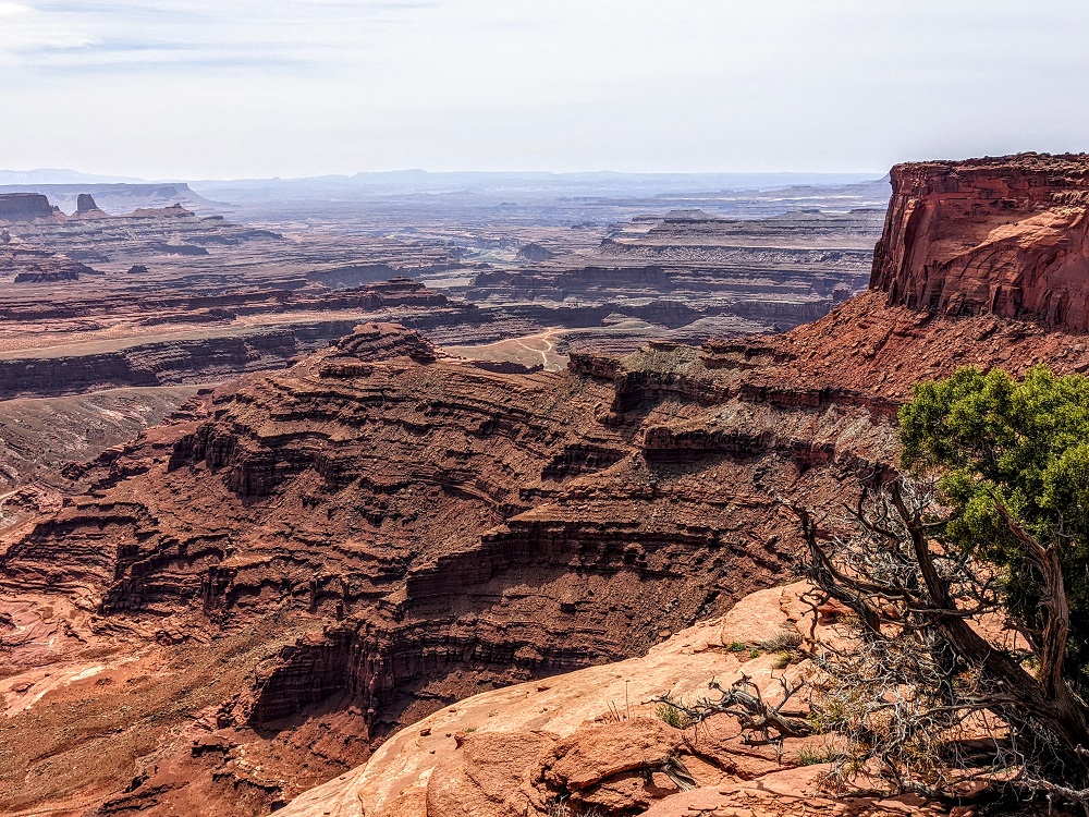
On both the East Rim and West Rim trails there are short offshoot trails leading to overlooks. On the East Rim trail, there’s only one offshoot – the Basin Overlook trail. This is only 0.25 miles each way, but that added 0.5 miles round trip on top of what we were already doing.
The offshoot trail was worth taking though as it gave even better views of the solar evaporation ponds to the north and seemingly endless canyons to the south.
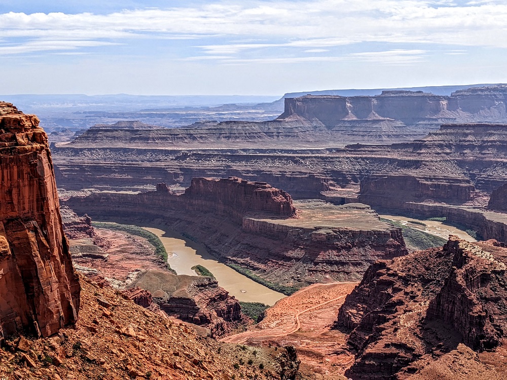
Dead Horse Point
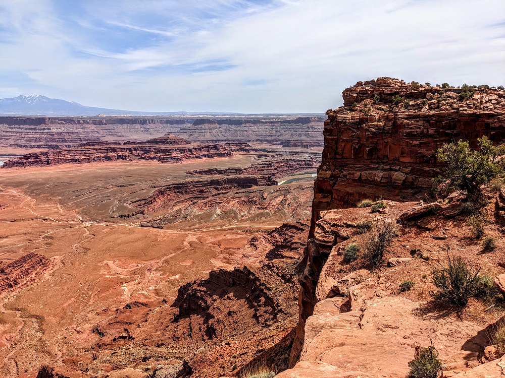
We’d ultimately decided to hike all the way to Dead Horse Point at the southern tip of the park, but you can drive all the way up there if you want.
With the sun beating down, we were glad to see what we assumed to be Dead Horse Point nearby.
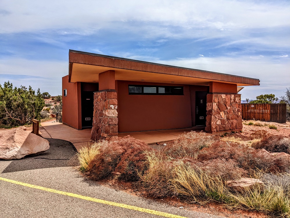
Thankfully the area we saw in the distance was indeed Dead Horse Point. Not only that, but there were lots of picnic shelters providing respite from the sun. Chipmunks were already well aware that this was a popular picnicking spot, so there were lots of them running around, presumably hoping that we’d drop our lunch.
There was also a restroom which, from what I can remember, had running water. I was surprised by that as I’d thought its somewhat remote location meant there would’ve only been pit toilets.
After stopping for lunch at one of the picnic tables, we continued up to the overlook. Dead Horse Point gets its name from horrendous tales that were told of what cowboys did at the site in the 1800s. Based on an information board there:
According to the legend, wranglers often drove herds of feral horses across this narrow bottleneck leaving them corralled by the sheer cliffs. On one haunting drive, for reasons still unknown, the cowboys chose the best horses and left the others corralled on the point. With the gate across the neck closed, the remaining horses were trapped with no way out, no water and no hope for survival. Those who found the remains of the unfortunate horses gave this place the name Dead Horse Point.
It’s a shame that it has such a sad history because the views are beautiful.
West Rim Trail
It was at this point that we made our second mistake. Having not brought along as much water with us as we should’ve, we decided to hike the West Rim trail on the way back to take in the different views on that side. The East Rim trail that we’d taken out to Dead Horse Point is 1.5 miles long, whereas the West Rim trail is a mile longer at 2.5 miles. A longer trail with less water than would’ve been ideal wasn’t necessarily our wisest choice.
Another problem was that the West Rim trail wasn’t as easy to follow as the East Rim trail. The West Rim trail does have a few trail signs, along with dark trail markers painted on the rock floor to direct you. The signs and markers aren’t always prevalent though, so at some point we lost our way and ended off the trail. We eventually found our way back on, but it lengthened the time and distance on our hike back that we’d rather not have added.
The West Rim trail has three offshoot trails on the way back leading to three different overlooks – Meander Overlook, Shafer Canyon Overlook and Rim Overlook. However, due to our concern about our water levels, we decided to pass on those overlooks because doing all three would’ve added more than a mile to our return journey.
The good thing is that the trail still provided some lovely views on the way back.
Across the other side of the canyon was Thelma & Louise Point which is where the iconic final scene of the movie was filmed. I think you can drive out to Thelma & Louise Point, but you need an off-road vehicle to take the dirt road that way and so we didn’t get to drive to the edge to check it out.
In the end, we didn’t hike the full 2.5 miles of the West Rim trail. There was a slight shortcut back to the visitor center by cutting through a couple of campgrounds, so we decided to take that alternative route back.
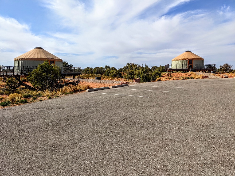
In addition to campsites and RV hookups, Dead Horse Point State Park has some yurts that you can stay in.
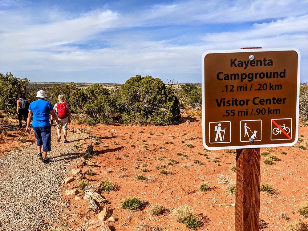
The campgrounds had restrooms with some running water outside to wash up, but there was a sign saying the water was non-potable and so we weren’t able to fill our bottles there. Thankfully there was a sign letting us know we only had half a mile back to the visitor center where we knew we had some icy water waiting for us in a cool bag in our car.
Dead Horse Point State Park Entrance Fees
Seeing as Dead Horse Point is a state park rather than a National Park, a National Park annual pass isn’t accepted for entry. When we visited in April 2022 the entrance fees were as follows:
- Private vehicle – $20 per vehicle
- Motorcycle – $10 per vehicle
- Bicycle/pedestrian – $10 per person
- Commercial tours – $5 per person
- School group – $1 per person
As mentioned earlier, there are campgrounds at Dead Horse Point State Park. If you’d like to camp there, the fees are as follows:
- Electric site – $50
- Hike-in tent site – $40
- Yurt – $150
- Extra vehicle – $20
Final Thoughts
Dead Horse Point State Park is a beautiful area that complements a visit to nearby Canyonlands National Park. If you’re a dog owner, you might view it as being even better seeing as dogs are allowed on hiking trails at Dead Horse Point whereas they’re not even allowed at overlooks at Canyonlands.
Just be sure to learn from our mistakes and bring plenty of water with you when hiking there as the heat and lack of shade can take its toll.
Leave a Reply