The day after arriving in Huntsville, we looked for a good hiking trail to get some of Truffles’s (and our) energy out. Monte Sano State Park was only a 25 minute drive from our hotel and had several trails to choose from.
One of those – the McKay Hollow trail – is classed as an extremely difficult trail. We’d never hiked a trail with that rating but figured we’d give it a go seeing as it was only ~2.25 miles each way. After packing up some food to have a late lunch on the hike, we set off.
The entry fee for Monte Sano State Park is $5 for adults and $2 for kids (under 3s are free), so it was a reasonable price. We stopped off at the visitor center to get a trail map where Shae got chatting to a friendly park ranger. She gave us some additional information about where to park and how to get to the trail which was helpful.
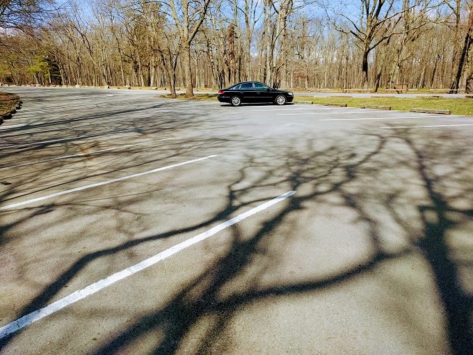
We drove down to the parking lot closest to the McKay Hollow trail which was almost empty.
The park ranger had advised that we should walk down to the second picnic shelter to get to the trail.
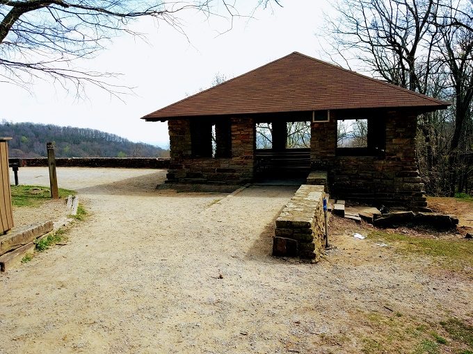
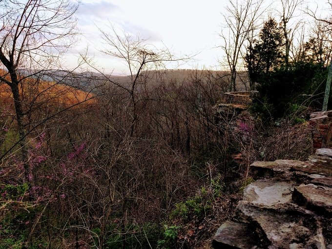
You don’t have to go on a hike to get beautiful views at Monte Sano State Park though. This is the view even if you only go for a picnic.
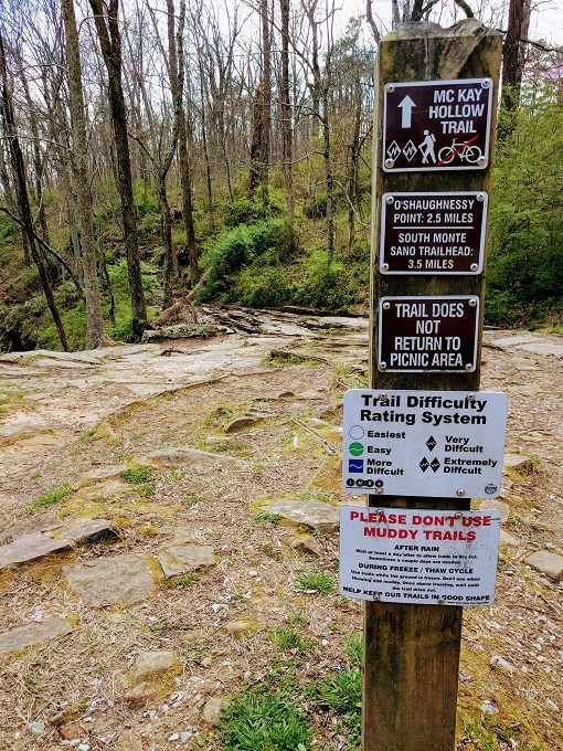
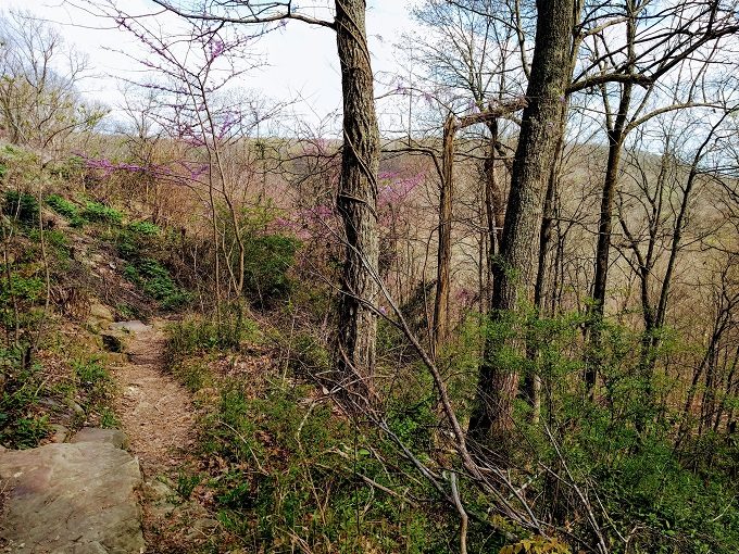
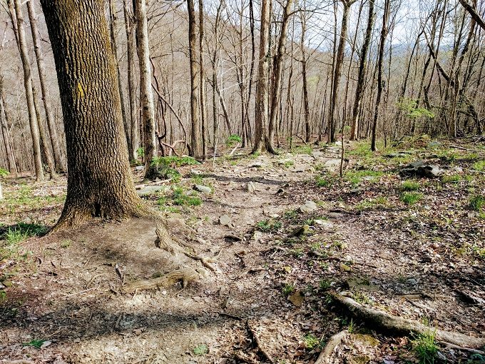
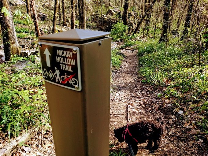
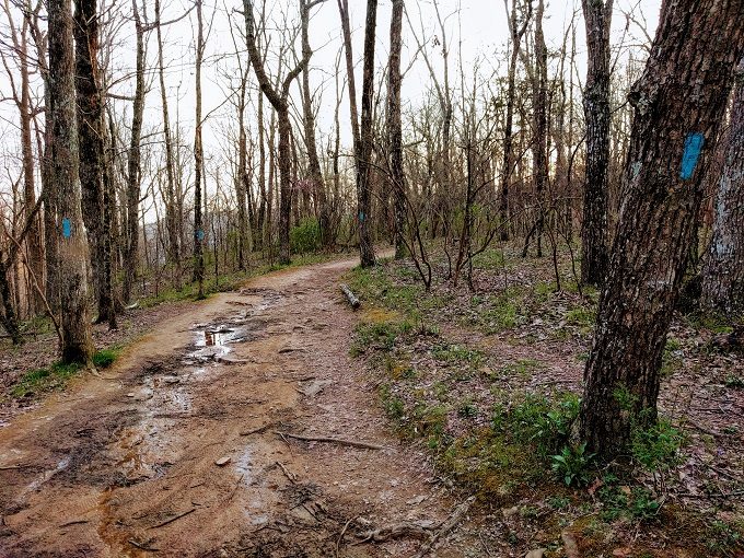
If you walk past the picnic shelter to the right, you’ll see a sign for the start of the McKay Hollow Trail. There were two diamonds which confirmed that it was due to be an extremely difficult trail.
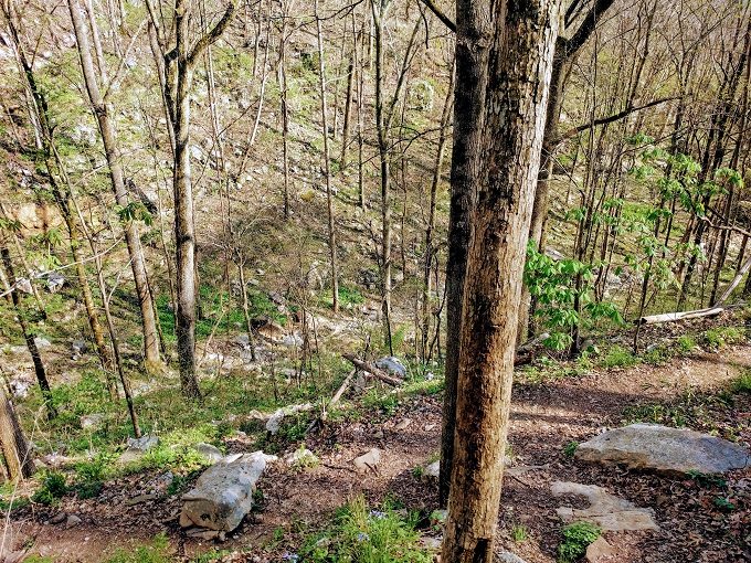
The narrow trail initially headed round to the left and down the hill to the right.
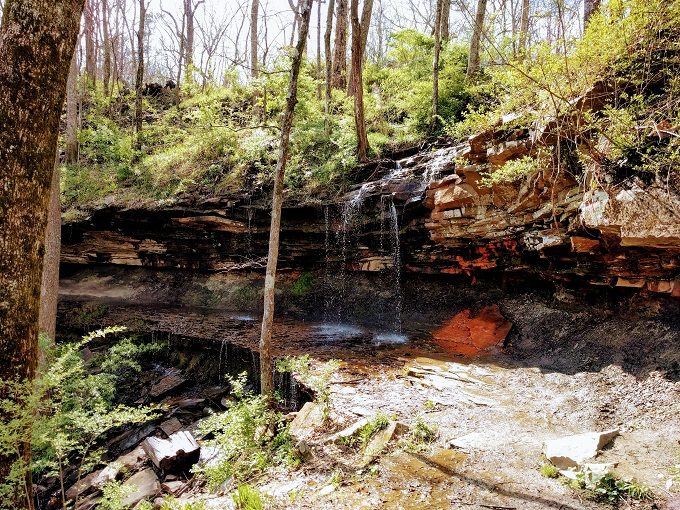
After going down some steep rock steps, you might see a waterfall. We visited at the beginning of April a few days after it had rained, so there might not be any water during the height of summer.
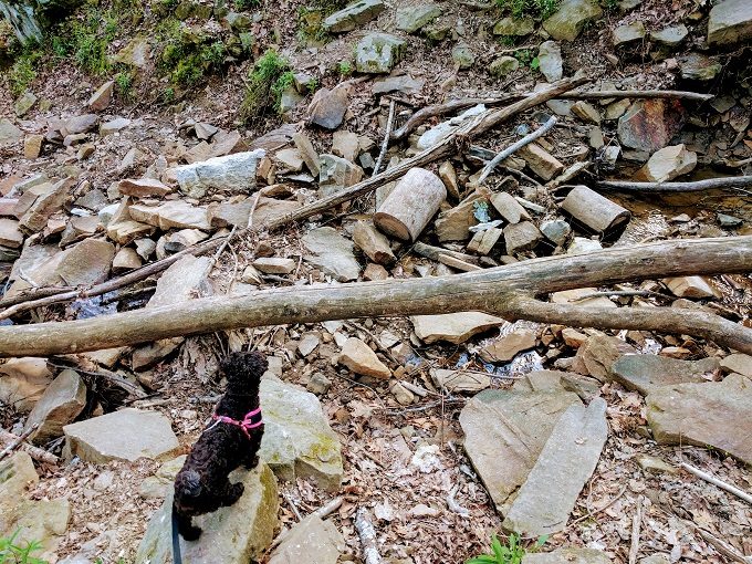
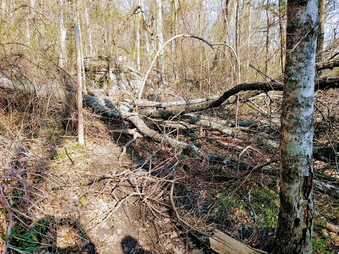
It felt like we somehow ended up off the trail as we had to cross over a large pile of rocks and a tree trunk.
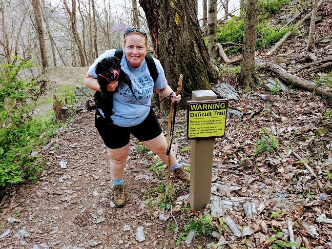
If we had gone off the trail, we were soon back on it as there was a warning sign about how difficult the trail would be. The warning says the following:
Minimum 2 hour hike to next exit point over difficult terrain. Tired, low on food, low on water, or unprepared for a very strenuous hike, please turn back.
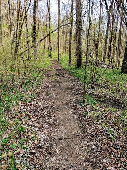
The trail doesn’t get difficult immediately from there as there’s a fairly gentle slope uphill.
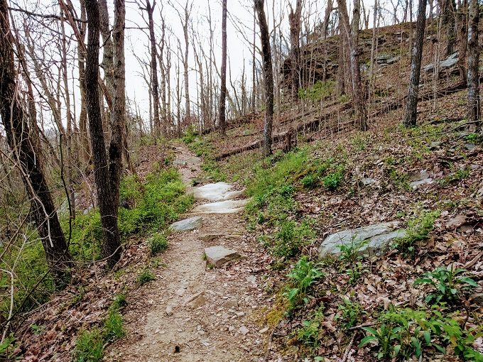
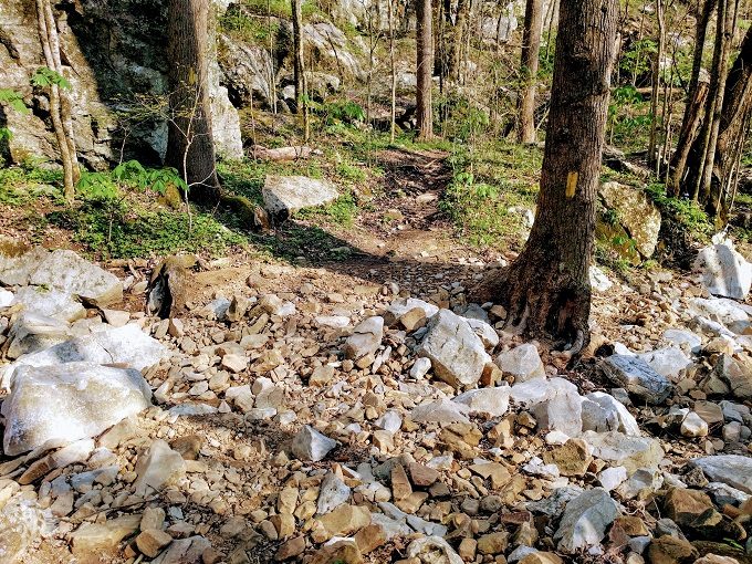
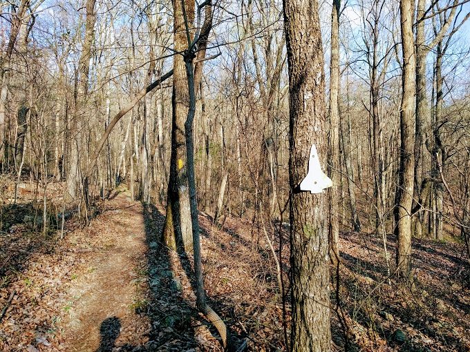
By this point the trail’s much more defined, but there are also yellow blazes to confirm the route of the McKay Hollow trail.
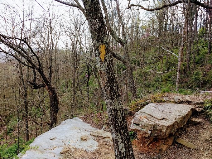
As you walk along, you’ll come to a rocky area with a steep drop below. Someone’s helpfully scrawled ‘Don’t Fall’ on one of the rocks in case you needed that advice.
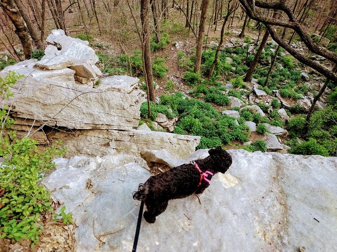
The trail continues to the right from that rocky area, then switches back on itself as you go downhill, so you’ll end up looking back up at the rocks.
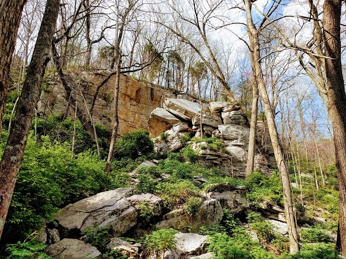
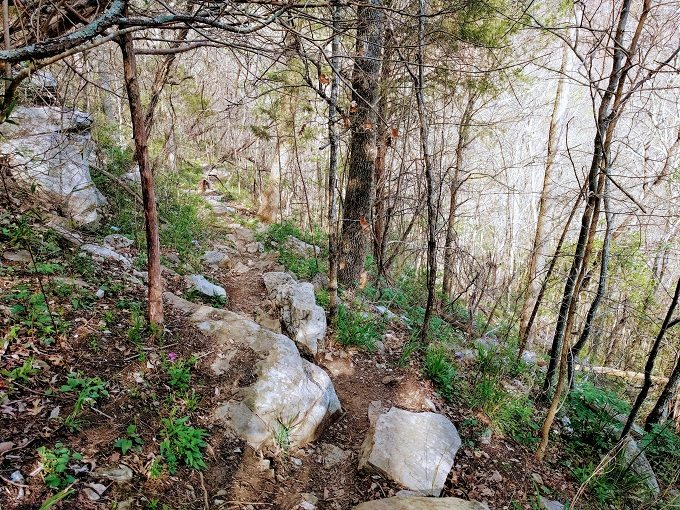
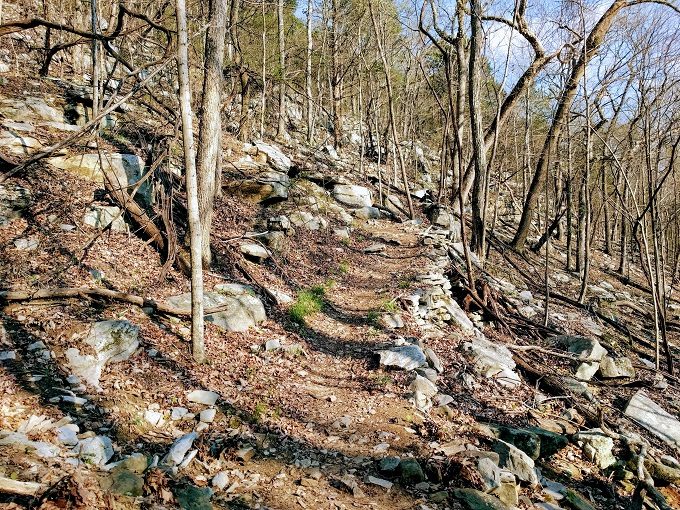
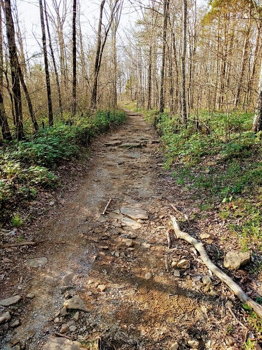
The McKay Hollow trail continues downhill, albeit at a gentler decline. Although this isn’t a particularly difficult section, the uneven path means you have to keep an eye on where you’re stepping.
The trail narrows with plenty of large rocks in the middle of the path.
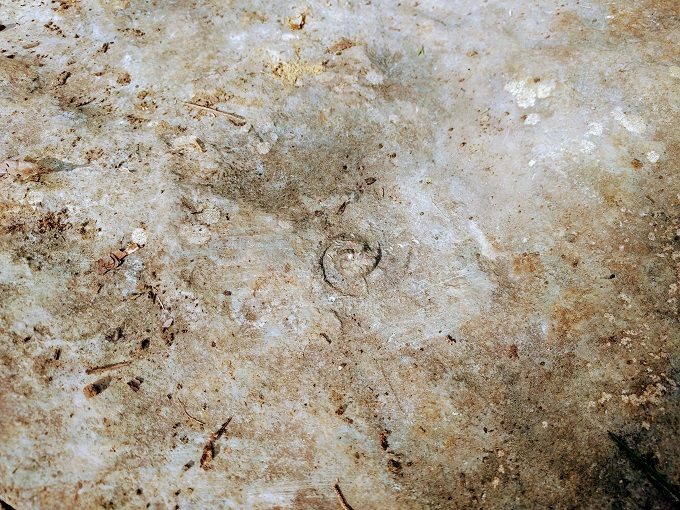
If you’re hiking with kids (or even if you’re not), keep an eye out for fossils in the rocks along the way.
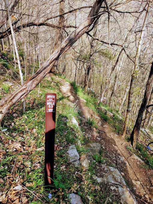
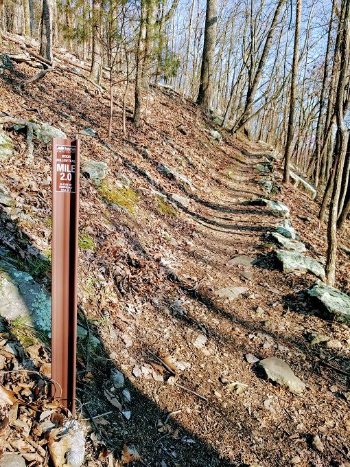
Shortly after this we passed the route marker advising that we’d hiked 0.5 miles. Your reaction – like ours – will likely be ‘Whaaaaaat?’ as it feels much longer by this point.
Truffles seemed to think so too as she decided to lay on the ground a bit further down the trail. For being such a small dog, she’s an excellent hiker so this was unusual behavior until we realized that she was just hungry. We therefore stopped and sat on some rocks while we all had a late lunch.
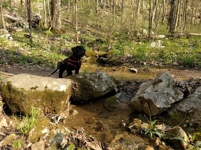
At the bottom of the hill from where we ate there appeared to be a dried out creek bed.
Upon reaching the creek bed, the McKay Hollow trail continued through it and up the hill.
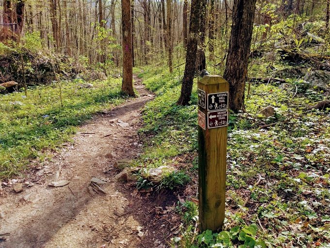
As an alternative, you can branch off to the right to take the Natural Well trail.
All the photos above don’t quite capture it, but the first half of the McKay Hollow trail is the hardest section. Even though it’s downhill, it’s the steepest part and all the rocks make it trickier to traverse.
That’s not to say that the rest of the trail doesn’t have its difficulties though. There’s still plenty more rock to make your way over.
A difficult hike never gets in the way of Truffles looking off majestically into the distance though.
It’s not all uphill though as the path levels out for a short while.
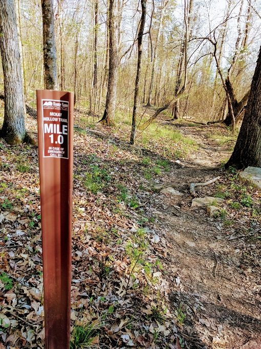
After walking for a few more minutes, you’ll hit the 1 mile marker.
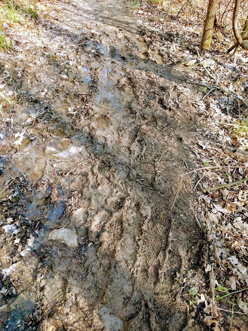
Depending on what the weather’s been like before you visit, the ground might get a little more muddy.
Be prepared to clamber over downed trees too. Truffles wasn’t a fan of trying to do that by herself, so she had to be picked up for this section.
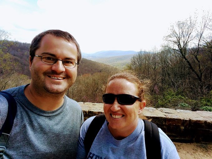
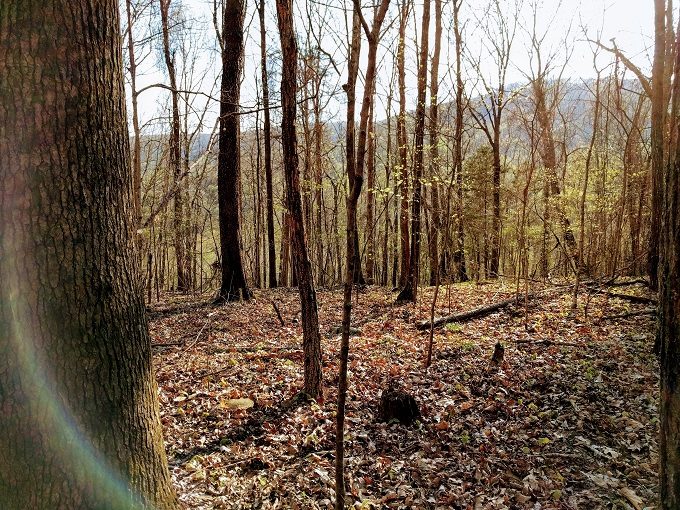
The route along the McKay Hollow trail is very scenic. The rocks make it a more interesting-looking terrain, while the trees and distant mountains enhance the view.
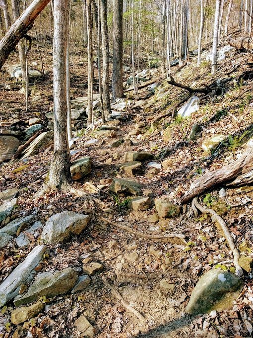
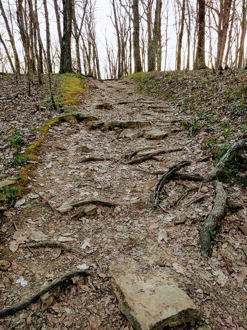
From about the 1.3 mile mark, the trail climbs more steeply uphill, with plenty of switchbacks along the way.
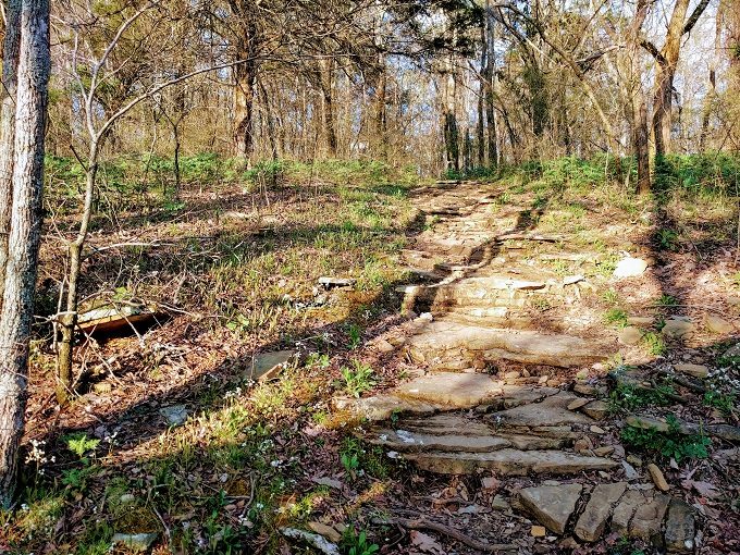
The path itself gets harder as well along the way, narrowing and becoming more rocky.
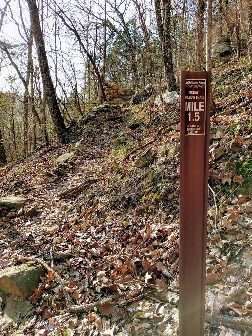
You’ll soon pass the 1.5 mile marker which means you’re almost 3/4 of the way along the trail.
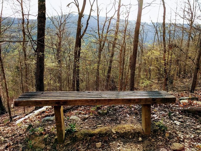
If you need a breather, there’s a bench with a picturesque view.
Huntsville is home to the US Space & Rocket Center, so that’s presumably why some trees have space shuttle markers on them.
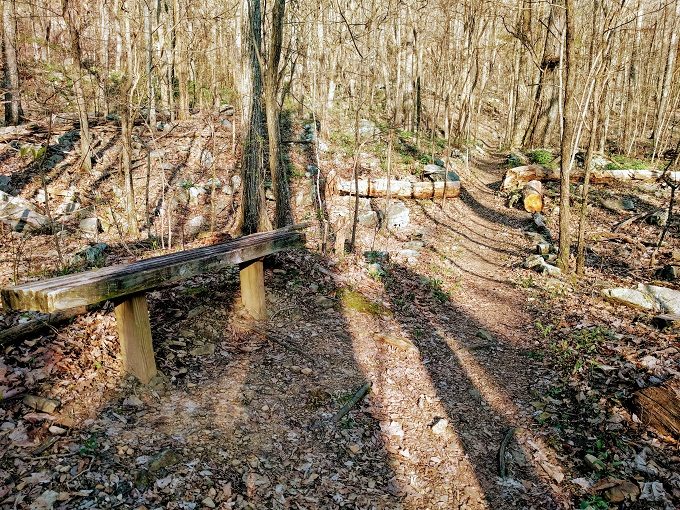
There’s a second bench on the way up if you need to rest weary legs.
The 2 mile route marker is a welcome sight as it means you’re almost at the end of the trail.
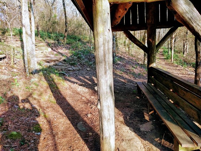
There’s a shelter with benches as you reach the end of the trail. We tried stopping here for a few moments, but all the gnats drove us away.
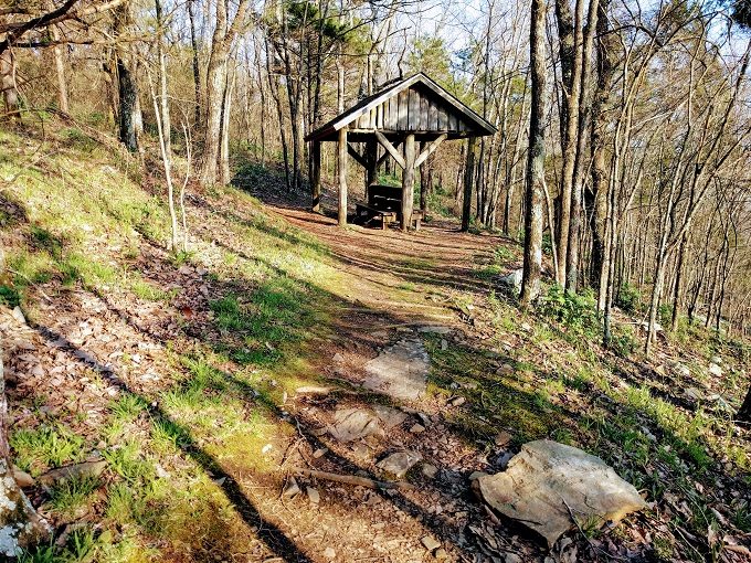
The McKay Hollow trail ends here, so you have three options. The first is to take the McKay Hollow trail all the way back, but be prepared. The trail is hardest at the beginning when going downhill, so it’ll be even harder when having to take it back uphill.
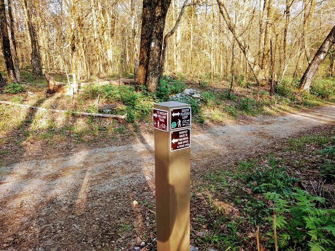
Otherwise, you can take the South Plateau Loop in one of two directions. If you continue hiking straight ahead, you’ll take the Loop southeast which’ll take you further away from where you parked your car.
Alternatively, head uphill to the left to take the South Plateau loop northwest for a short while. This is the route that we decided to take.
At the top, take a left on the South Plateau Loop which follows white blazes.
This path’s a bit flatter, so it’s a welcome respite from the uneven, rocky McKay Hollow trail.
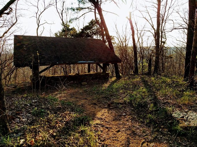
Along the way there was a shelter which looked like it’d have a lovely view of the setting sun.
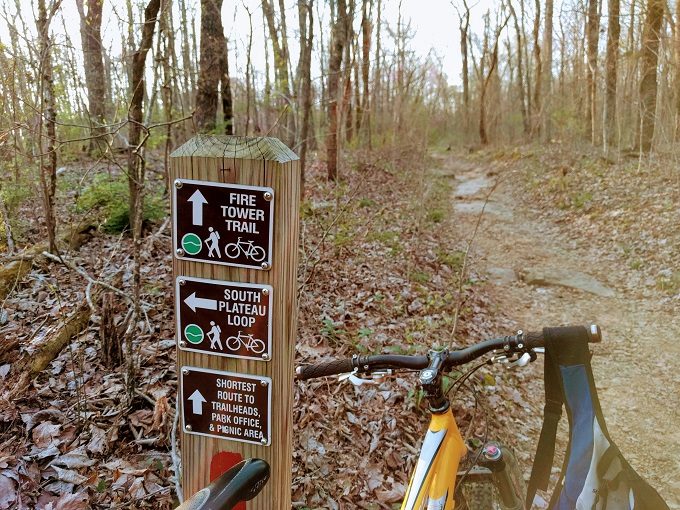
After about half a mile, the South Plateau Loop meets up with the Fire Tower trail. As the photo shows below, the Fire Tower trail was the shortest route back to the picnic area where we’d parked. As it was going to be getting dark soon (and we were running low on water), we figured that trail would be our better option.
If you head right on the Fire Tower trail rather than left (the direction shown in the photo below), after about 1/4 mile you’ll reach an old Fire Tower (hence the name of the trail). We searched online to find out whether it’d be worth visiting the tower. If we’d had more time we might’ve made the effort, but you’re apparently not allowed to climb the fire tower and so it didn’t seem worth adding an extra 1/2 mile round trip.
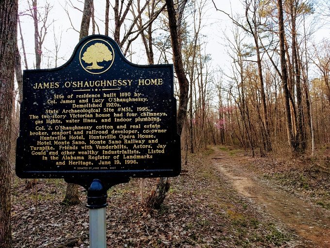
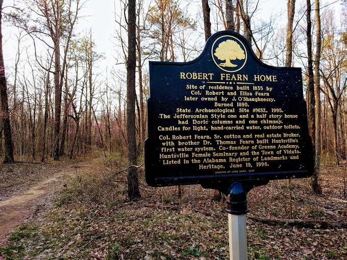
Along the Fire Tower trail there are a couple of historic markers relating to properties that used to be there.
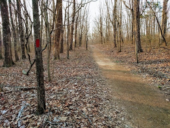
Not only is the Fire Tower trail the quickest route back, it’s also nice and flat. The red blazes on the trees guide you along, although the route is very straightforward.
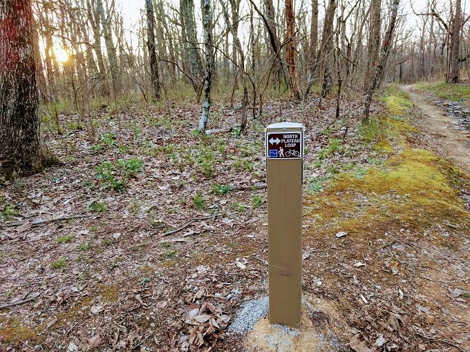
After walking along the Fire Tower trail for ~1.5 miles, we turned left on the North Plateau Loop. This trail is a more direct route back to the parking lot and has some scenic views.
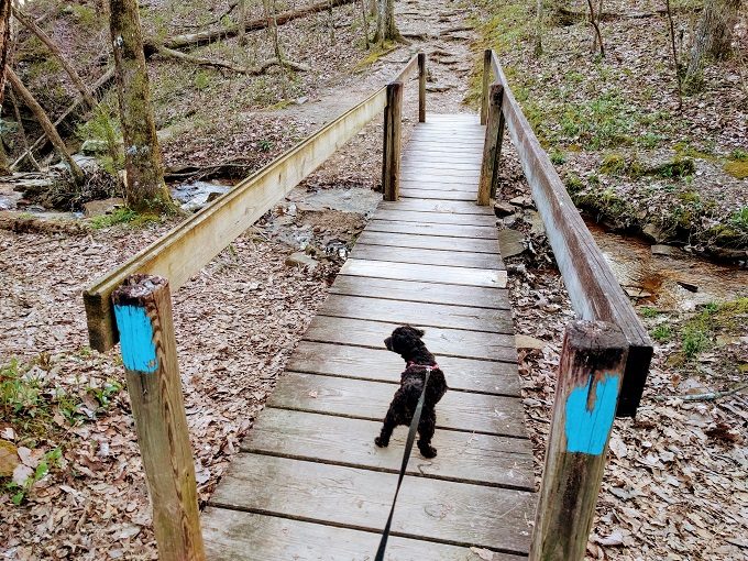
The blue-blazed North Plateau Loop has a wide path and a relatively even surface.
There’s a little creek you’ll cross over that leads to a short waterfall.
Towards the end of the loop there’s a brief uphill section…
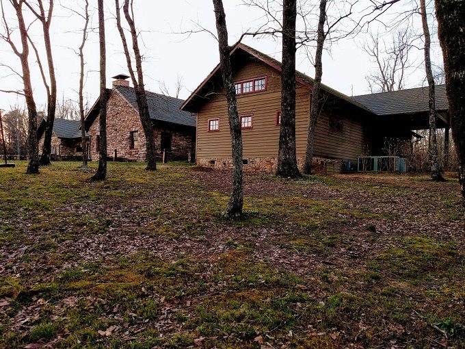
…before you walk past a residential lodge on your right.
Opposite the lodge there’s one last scenic overlook before you arrive back at the picnic area and parking lot.
Final Thoughts
Shae and I (and Truffles) really enjoyed hiking the challenging McKay Hollow trail in Monte Sano State Park. It’s a surprisingly beautiful trail considering how much of it’s rocky. In fact, it felt like all the rock gave the trail more personality.
Although it’s classed as extremely difficult, I’d say the McKay Hollow trail is only that tricky if you’re taking the trail out and back again. If you’re hiking it in one direction, I’d only class it as being difficult / very difficult.
The sign early in the trail warns that you should have plenty of water – they’re not kidding. We got through our water bottles pretty quickly which was one of the reasons we took the Fire Tower trail back. This was at the beginning of April, so be sure to take plenty of water if hiking there in the summer.
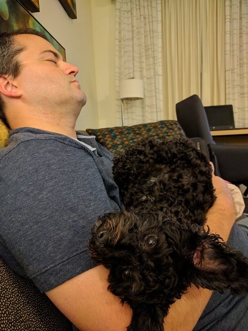
It’s also a tiring trail, so you might not want to plan to do much later that day. This is Truffles and I after we got back to the hotel.
I hike through McKay hollow frequently. I wish you had time to go to the Natural Well. If time is limited, I just hike down into McKay (the long difficult winding trail at the beginning) and back up again. I leave work many days, drive to Monte Sano, just to hike this trail. I saw your car in the parking lot that day and wrote down the website. I just looked it up today. Too bad our paths didn’t cross!
That’s good to know about the Natural Well – thanks! We loved Alabama so much that we’re planning on returning in the future, so we’ll add this to our list of things to do.