After hiking the A.M. Thomas Trail to the summit of Sugarloaf Mountain in Maryland, I decided to hike another trail seeing as that first one is only a half-mile round-trip (albeit a strenuous half-mile).
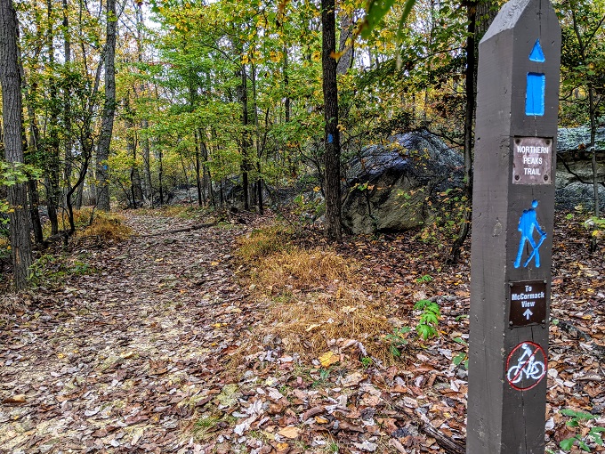
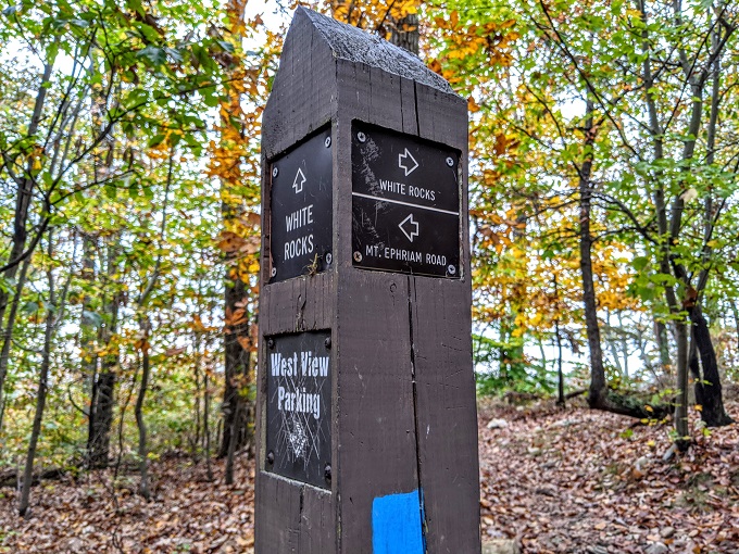
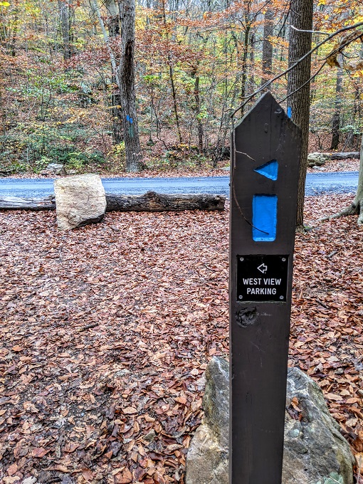
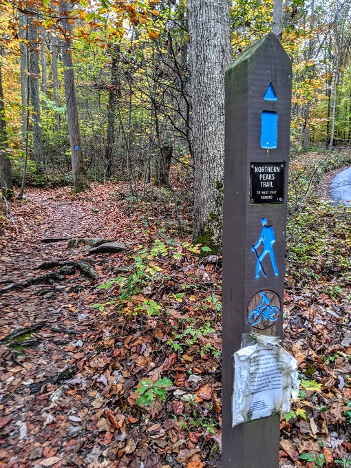
We’d parked in the West View parking lot which was the trailhead for the Northern Peaks trail (AKA the Blue trail). The Northern Peaks trail is a 5 mile loop trail, so that seemed the perfect distance for us seeing as it was 3pm by that stage.
Spoiler alert: it wasn’t the perfect distance.
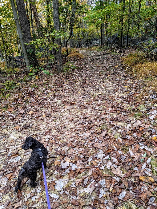
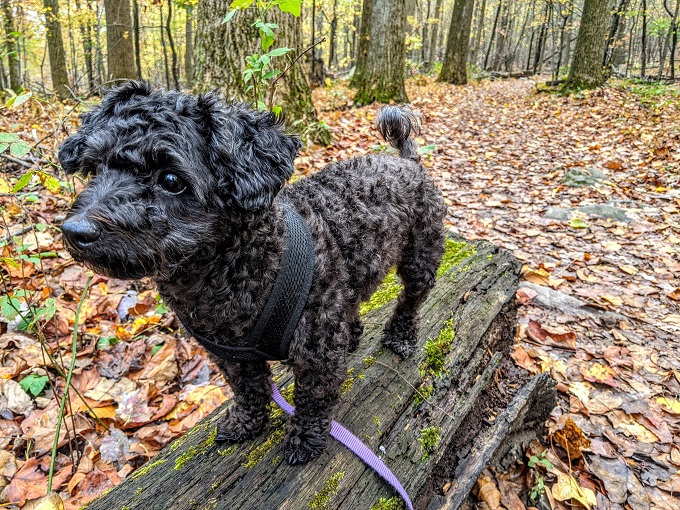
One of the main causes of why the hike didn’t go quite as planned is Truffles. She was raring to continue hiking, but then wanted to stop literally every few steps to smell something new.
She’d been stuck in the hotel for a few days, so I wanted her to get as many sniffs as possible as that helps tire her out, so I indulged her sniffing for quite a while. That meant it took longer to hike the first mile or two of the trail which almost came back to bite us later on.
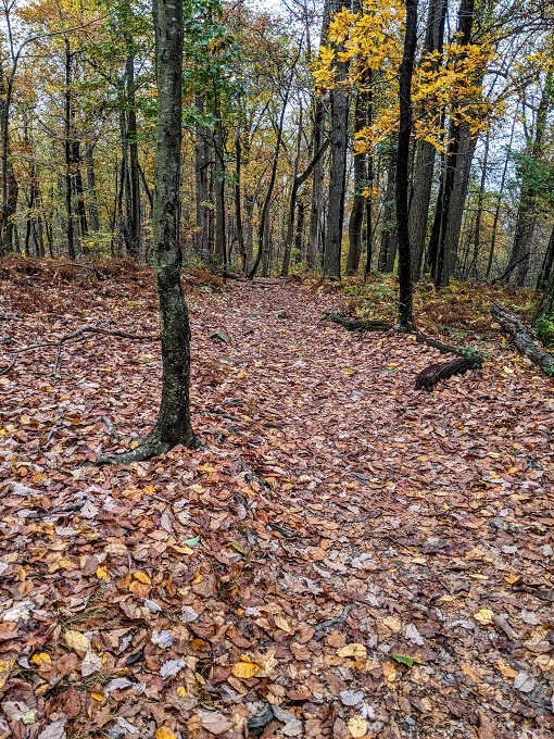
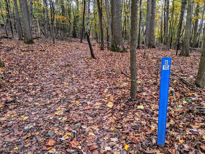
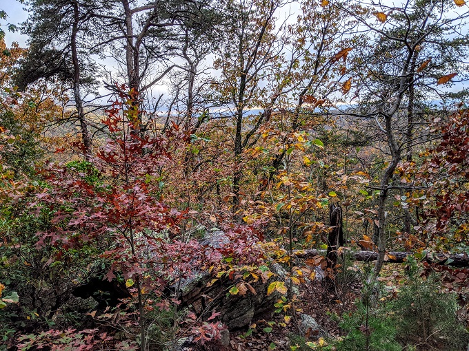
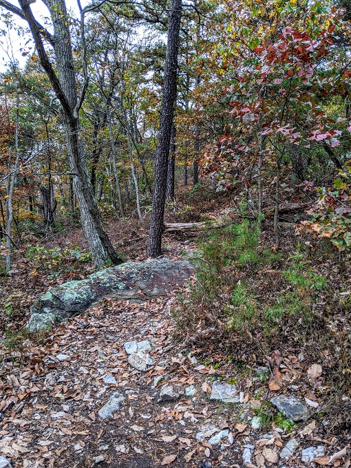
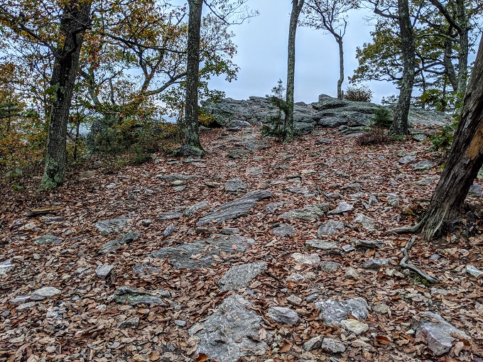
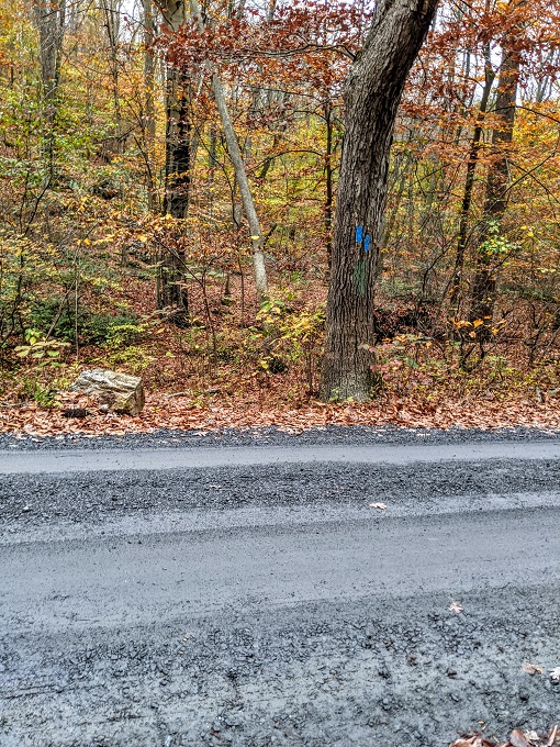
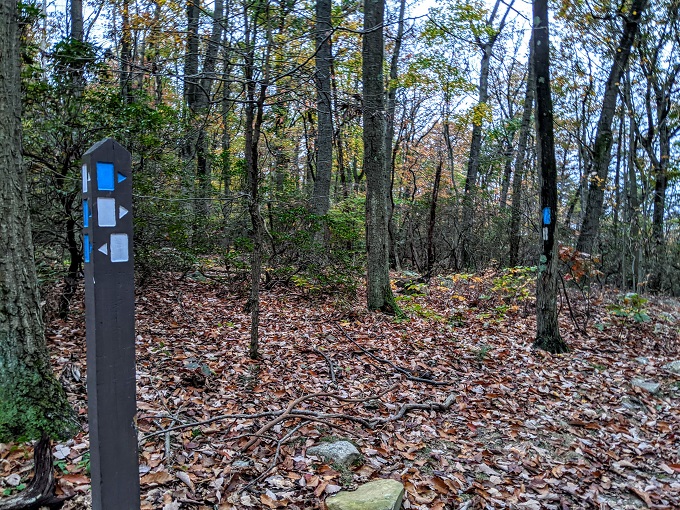
The Northern Peaks Trail is pretty well marked and so it’s fairly obvious where you need to go for most of the way. Even in the fall with leaves covering the trail, the route was still clear to see.
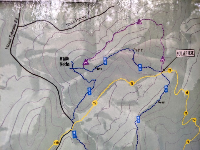
Sugarloaf Mountain is home to seven different trails:
- Blue – Northern Peaks trail (this one)
- Green – A.M. Thomas trail which is the one I’d done earlier. The green trail goes to the summit of the mountain and starts at the West View parking lot.
- Orange – Sunrise trail which is a different half-mile round trip to the summit, except that one leaves from the East View parking lot
- Red – Monadnock trail which branches off from the Northern Peaks Trail for a half-mile round trip to the summit
- Yellow – Saddleback Horse trail which is a 7 mile loop around the base of Sugarloaf Mountain
- Purple – Branches off from where the Northern Peaks and Saddleback Horse trails meet which leads you to White Rocks. You can reach White Rocks from the Northern Peaks trail, so the Purple trail only needs to be done if you want to add an extra half-mile to your route
- White – Mountain Loop trail which is a 2.5 mile loop around the summit
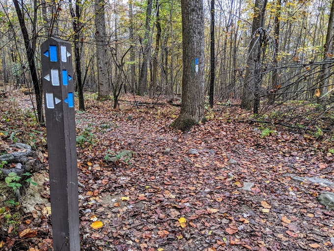
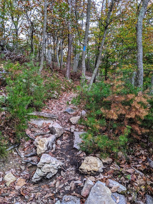
There are good trail blaze markings as you go along and it’s always clear which direction you need to take when trails meet. Some sections of the Northern Peaks trail are also part of the Mountain Loop trail, so you’ll see both blue and white trail blazes on trees.
Seeing as Shae was back at the hotel working, I wanted to send her some photos of Truffles from our hike. Unfortunately she wanted nothing to do with looking at the camera and so just stared off into the distance.
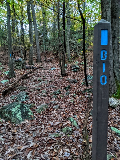
After about half an hour we came to an information board which had a copy of the Sugarloaf Mountain trail map and a warning that the Northern Peaks (blue) trail is 5 miles long. I already knew that, so I ignored the warning.
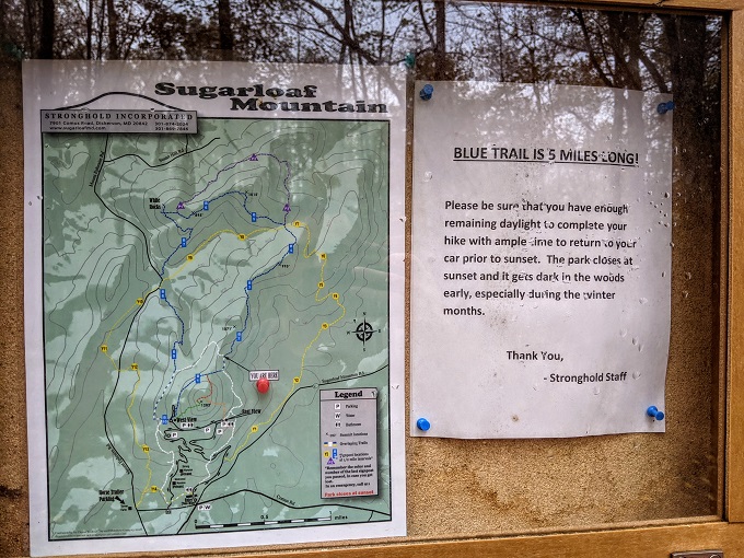
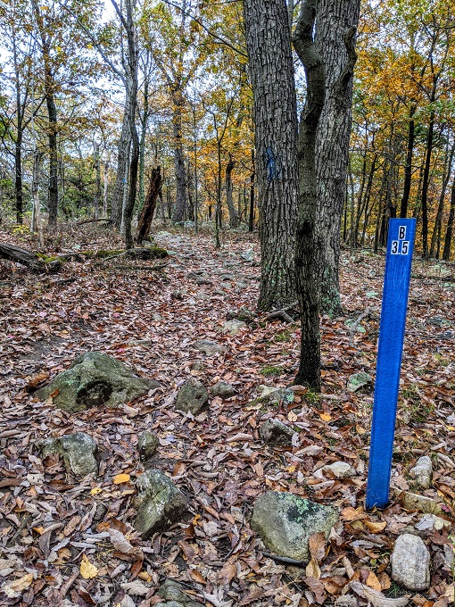
Shortly after the information board was a 1.5 mile marker. There were markers at what seemed to be every half mile point – 0.5, 1, 1.5, etc. The thing is – these aren’t half mile markers. I didn’t know that at the time though.
This is why my hike didn’t quite go to plan. At this point, I thought I was 1.5 miles along the 5 mile trail and so wasn’t concerned about how long it was taking us due to all the stopping and sniffing Truffles was doing. What I’d missed on the map is that these markers go all the way up to 10 on the 5 mile trail. That means every 0.5 marker equates to 0.25 miles or so. i.e. 0.5 = 0.25 miles, 1 = 0.5 miles, 1.5 = 0.75 miles.
Seeing as I was at the 1.5 marker, I thought at the time I was almost a third of the way along the trail. In reality, I wasn’t even a sixth of the way along. It’s therefore a little annoying that they’ve set up the markers this way, but I should’ve also paid better attention to the map as it does show the fact that there are 10 markers along the 5 mile trail.
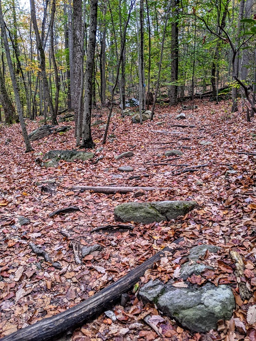
Not being in much of a hurry, I was able to stop and enjoy the nature along the trail.
About 40 minutes later we reached the 3.5 marker. At this point I still wasn’t aware of my mistake regarding the distances, so I texted Shae to let her know I should be back within about an hour seeing as I thought I only had 1.5 miles left.
Oops.
About 25 minutes later we reached the part of the Northern Peaks trail which meets the yellow Saddleback Horse trail.
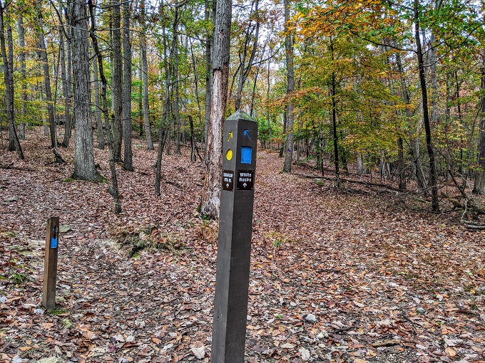
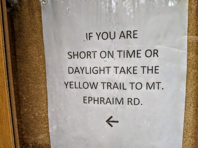
There was another information board at this point with another warning about how long the trail could take.
Again, if I’d paid attention to the map which was at this information board, I’d have noticed that the next marker was B5 which is what I thought would be the end of the 5 mile trail, but that it went on to B6, B7, B8, etc.
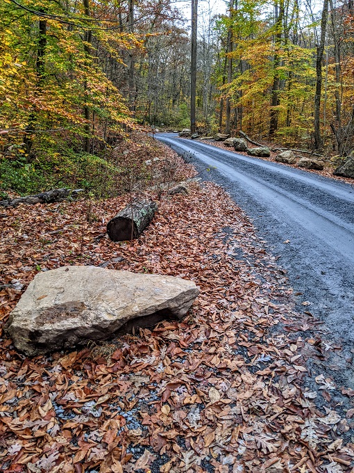
Instead, we continued along the blue trail towards White Rocks, oblivious about how far was left. It’s worth wearing hiking boots on the trail as it can get rocky at times.

Shortly after, I passed the B5 marker. I was confused that it seemed like I was still far away from the parking lot, so I brought up Google Maps on my phone to see what that had to say.
While looking at my phone, I almost went off the trail, so that would have been even worse. Thankfully I noticed that the trail continued up and to the right rather than continuing straight.
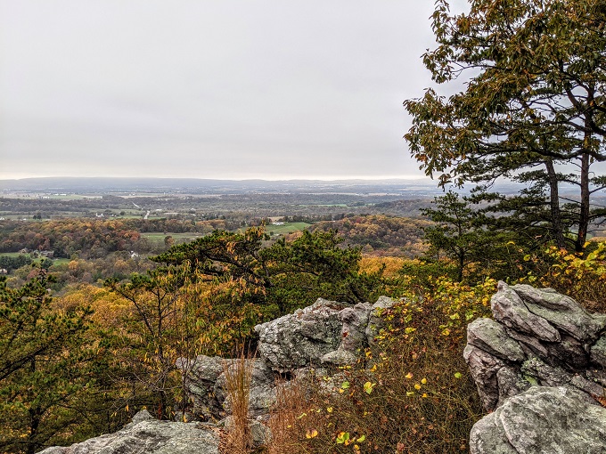
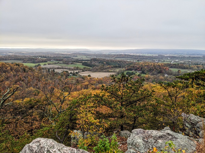
By this point I’d looked closer at the paper map I had with me and realized that I wasn’t anywhere near as far along the trail as I thought. Despite that, I decided to take the quick diversion up to White Rocks seeing as it was only about 100 yards off the trail.
All you need to do is follow the opening up to the rock edge.
I’m glad I took a couple of minutes to head up there as the views were lovely. It reminded me of the landscape in the UK where I’m from. There were no other hikers anywhere, so it was silent up there other than for the sound of a couple of birds chirping.
After briefly enjoying the views, it was time for me and Truffles to get a move on. The trail went downhill for a while from White Rocks, so we were able to truck it along. Thankfully Truffles got with the plan and didn’t try to stop and sniff everything as I didn’t want to have to drag her.
It was almost 5:30pm by that point and sunset was due to be 6:12pm. In addition to being concerned about it getting dark while making our way back, I thought I’d seen some kind of sign saying that Sugarloaf Mountain closed at sunset. I was therefore worried that the people running the site placed some kind of barrier up at the exit which would prevent us from being able to leave.
Shortly after passing the 7.5 marker (i.e. ~3.75 miles along the 5 mile route) we came to Mount Ephraim Road, with the trail marker directing us to the left back to the West View parking lot.
On the other side of the road were a couple of blue trail blazes on a tree. When you see double trail blazes like this, you have to head in the direction of the higher trail blaze. If I’d missed the earlier trail marker, the fact that the left blaze was higher than the right one meant I’d know I needed to turn left.
The trail through the forest temporarily ends at this point, so you have to walk along the road for a minute or two.
Keep an eye out on your left as you have to rejoin the Northern Peaks trail through the forest.
There was a little bit of uphill and downhill from here, but nothing too steep and so we were able to keep a good pace.
The blue (Northern Peaks) trail meets back up with the white (Mountain Loop) trail for about half a mile or so. I was a little concerned at one point because one of the trees only had a white trail blaze and so I thought I might’ve missed the blue trail heading off in another direction, but I was still on the right path.
It was getting much darker by this point, so I was pleased to eventually see the 10 marker which was very close to the parking lot. My Google Pixel 3 phone has good nighttime photography, so it was darker than the photo below appears!
A couple of minutes later we were back at the car. Sunset was at 6:12pm and we got back at 6:19pm, so not too bad in the end. However, I then noticed a sign on the noticeboard in the parking lot saying that the closing time was 5pm – oops!
There were still a couple of other cars in the parking lot and I’d seen two other families wandering around, so I was hopeful we weren’t all going to be trapped on this side of a gate. Sure enough, I was able to exit without any issues. The roads in and out of Sugarloaf Mountain are one way, so it seems like they might’ve blocked the entrance at 5pm, but leave the exit open much later.
Overall, the Northern Peaks trail is a great 5 mile loop trail to go hiking on. There are a few steep sections, but it’s not too strenuous and has some beautiful views from White Rocks.
Just be aware that the markers aren’t indicating how many miles along the trail you are. Also, if you’re setting off on the trail at 3pm when sunset is just after 6pm, don’t let your dog stop too frequently for sniffs 😉
Hi! I need to be doing what you guys are doing. Just a note about your tour of Sugarloaf.
In lieu of the gym now, I’ve been hiking it most days a week. Your presentation shows waypoint markers along the trails. posted every 1/2 mile. I also thought they were mile markers….but not the case. Good luck on your journeys.
Thank you! Glad that you’re getting to enjoy the trail frequently – it was a lovely hike provided you’re not doing it as it gets too dark!
Great article. The waypoint numbers confused me, too. To my good fortune, I was with a group that had local knowledge.