When Mary and I were in California last summer, one thing we’d planned to do was hike up to the Hollywood Sign. However, after our 10 mile hike on Santa Cruz Island we were too wiped out.
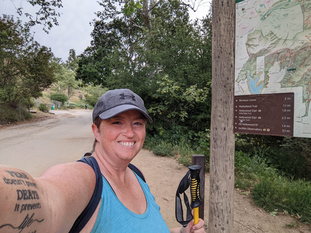
So, I’d hoped to go with Stephen and Truffles while we were in the Los Angeles area. Unfortunately, we were rapidly running out of time and Stephen, while interested, had things he wanted to do. I’m not usually the big hiker in our family and I went to bed the night before our planned hiking day figuring I’d just sleep in and stay home. When I woke up on Saturday nice and early I decided that *I* was the one that really wanted to do this hike so I SHOULD DO IT ANYWAY! So that’s what I did.

I’d found this great turn-by-turn blog post to the Hollywood Sign which was really helpful. There are two things I’d update to his post. The first is his water recommendation which is at least 1 liter – I’d bring more, especially if it’s after 10am and between March and October. My friend is on Search and Rescue teams for that area and she said not carrying enough water is the biggest challenge they find when people set out on this hike.
I brought more than enough for the time of day/temperature for my hike, so I shared it out with others and pups along my way back down. But I saw more than 10 families without enough water – many only had one 1/2 liter water bottle (not even per person!), coffees, sodas or nothing for this hike. Many were also not wearing the right clothes and footwear thinking they can just walk up to the sign. It’s the “easy” route, but it’s still straight uphill with basically no shade for the entire hike.
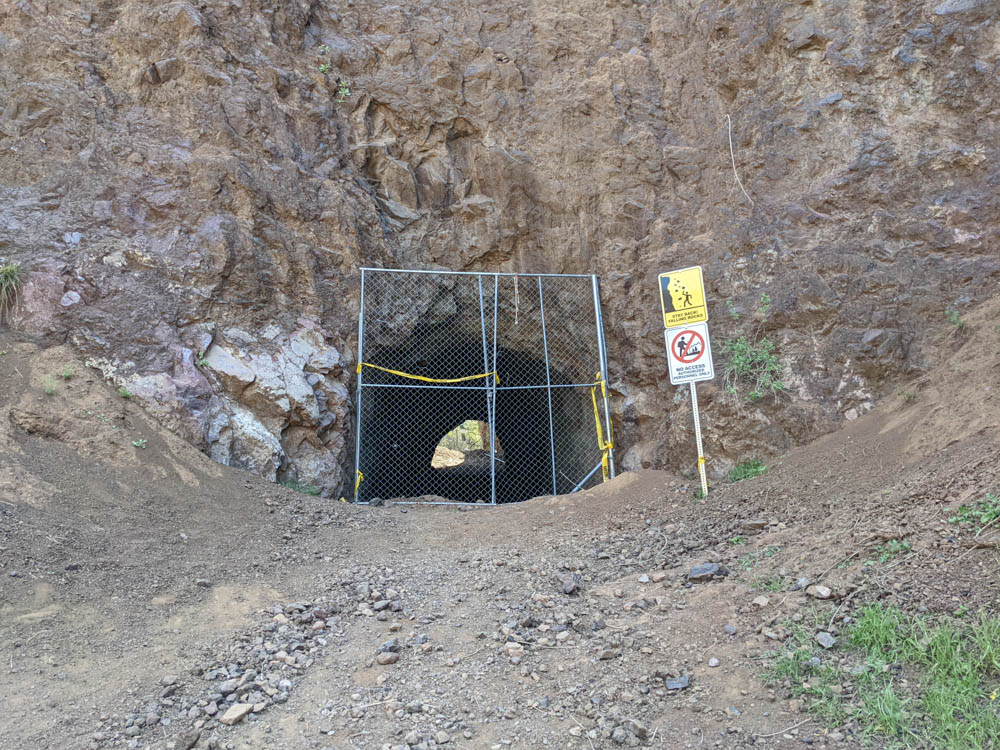
The second is that as of March 2022 the “Bat Cave” is closed off, so it wasn’t worth the extra diversion.
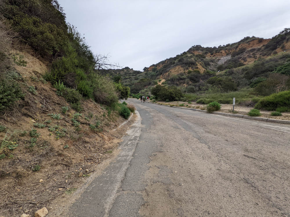
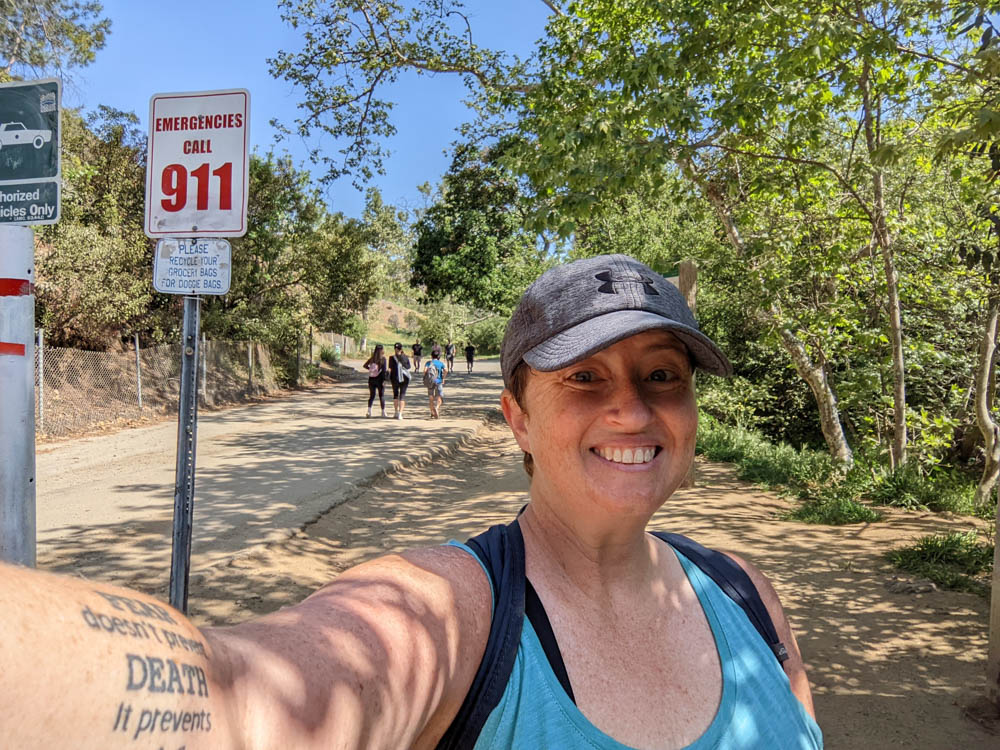
I was able to park along the road near the park just before Lots 2 and 1 that he mentions in his blog post. It was easy to follow the road to the start of the hike. I got there by 8am and the lots were already full on a Saturday morning. By the time I returned around 11am it was very full and the line of parked cars behind me was really long.
It was time to start the trail. I wasn’t sure I could do it without my hiking poles – I was concerned about clambering/stairs since my knees aren’t always great without Stephen there to help me up/down. It turns out that I didn’t need them at all. I also wasn’t sure about the wildlife there, so I was prepared since I was concerned I’d be alone – but again, there was basically no wildlife to speak of that I saw (other than 1 coyote towards the end) and the trail always had someone nearby.
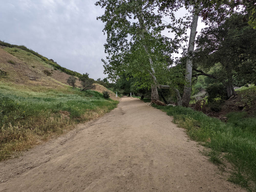
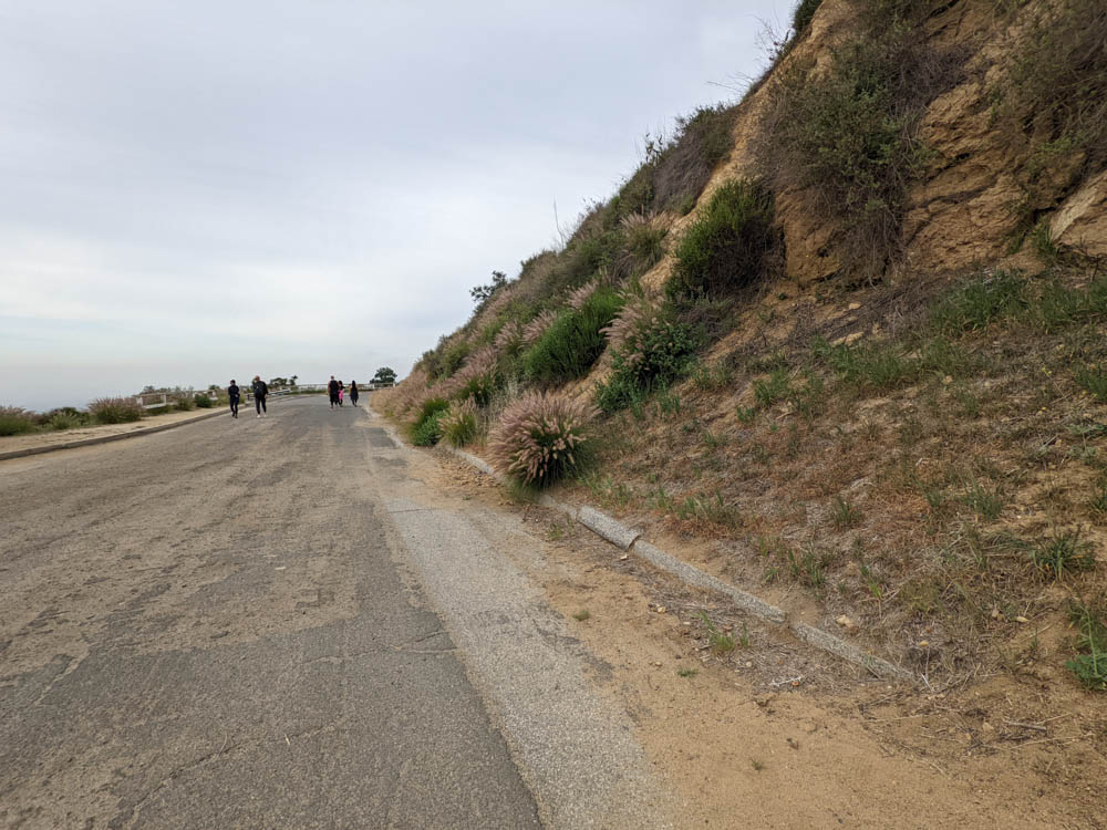
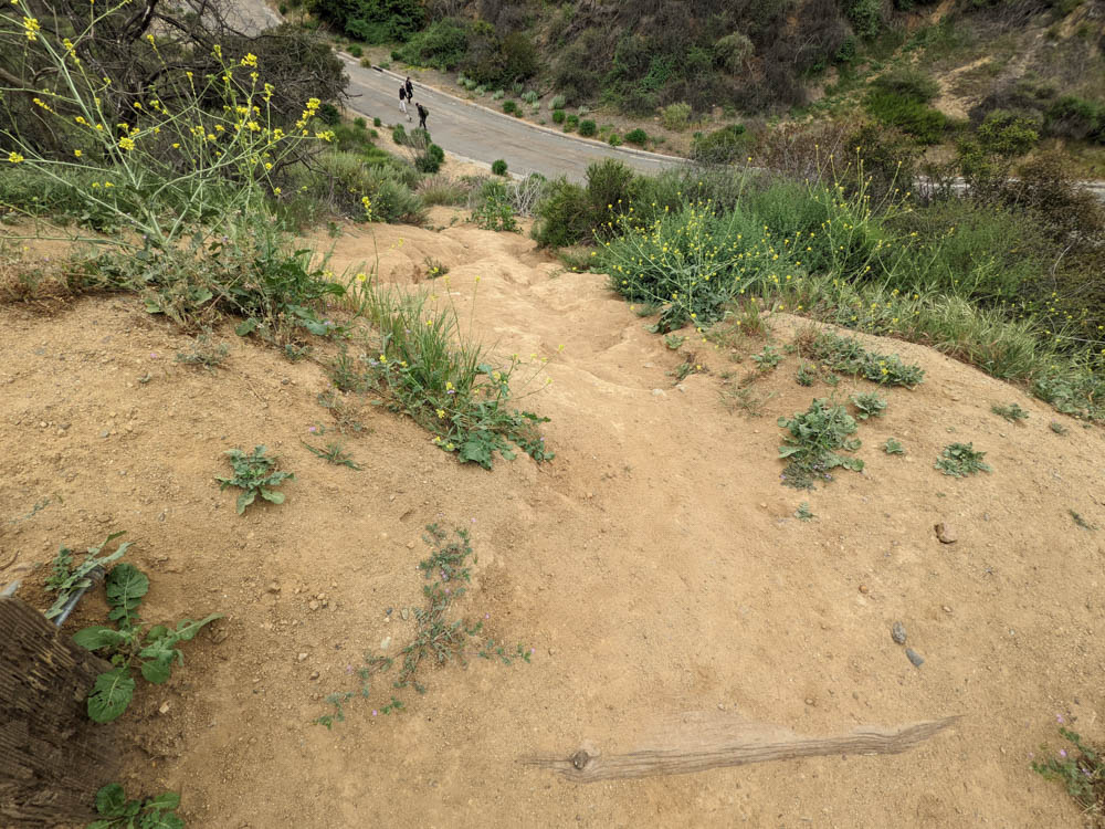
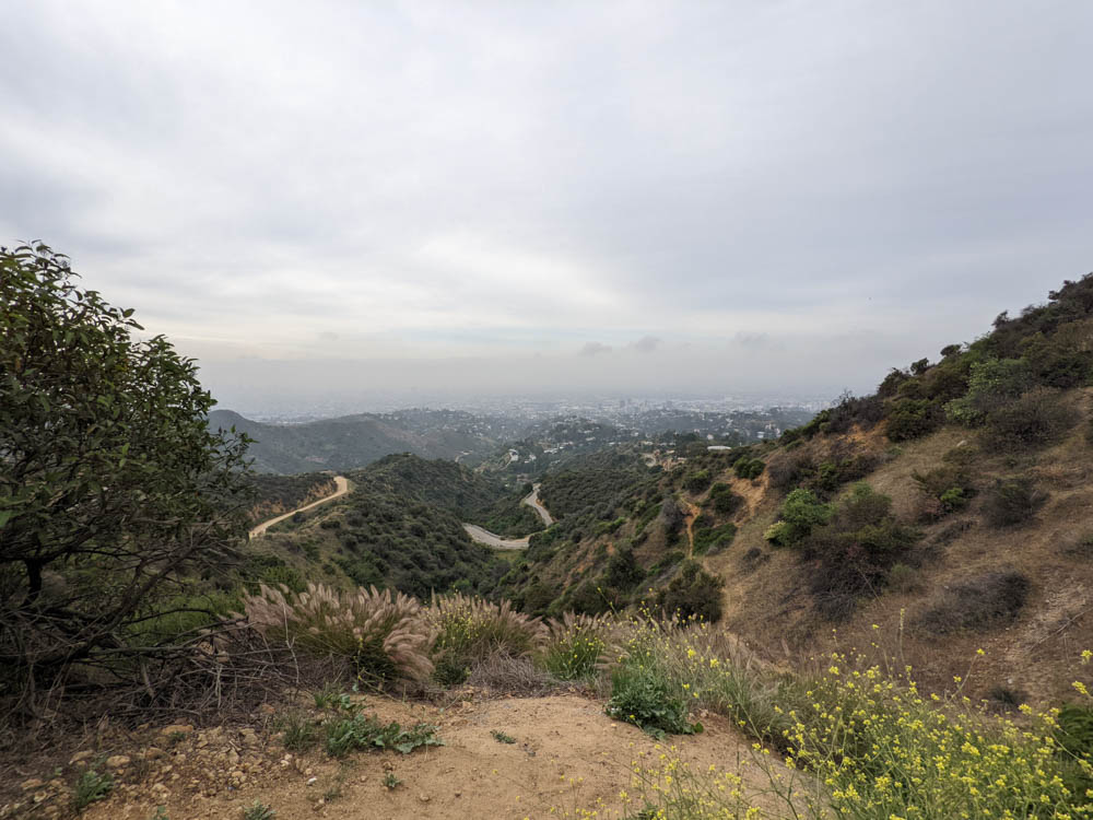
While it’s basically straight up hill, it’s a very straightforward path that’s covered in sand, dirt, gravel and pavement at different points.
There’s a bench to stop at with a nice vista at the top of the first uphill section. This is a great place to pause and have some water. It’s also a good meeting place if you have older teens that want to hike more quickly than the rest of the group – I saw several groups stop there waiting for their parents.

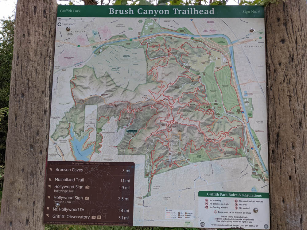
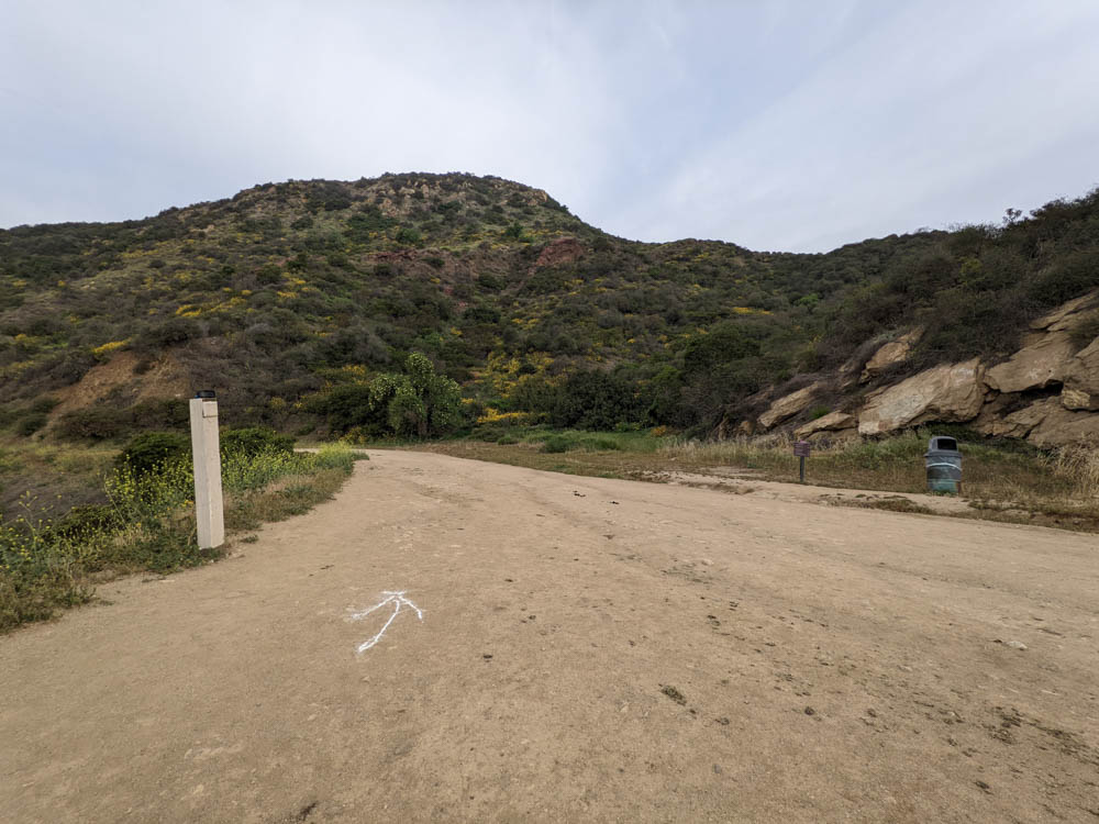
You just need to keep following the trail – it’s very straightforward until you see a split in the dirt – stay to the left at the first split on Mulholland Trail then keep right at the next dirt split. The left is the Hollyridge Trail down by the horse stables that are there.
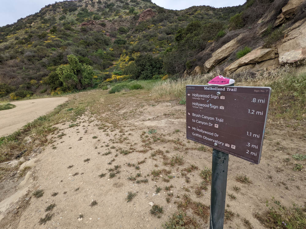
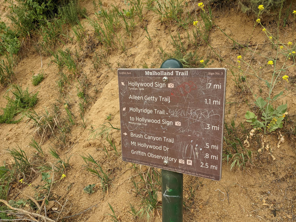


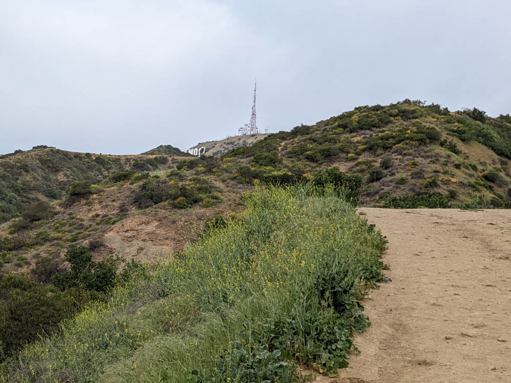
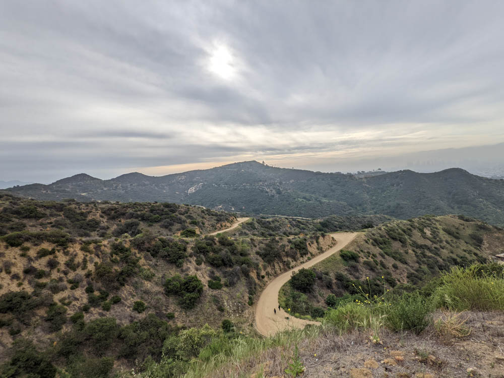
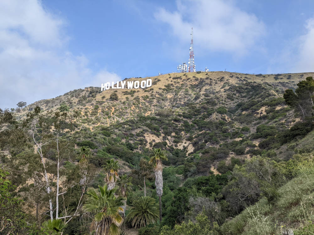
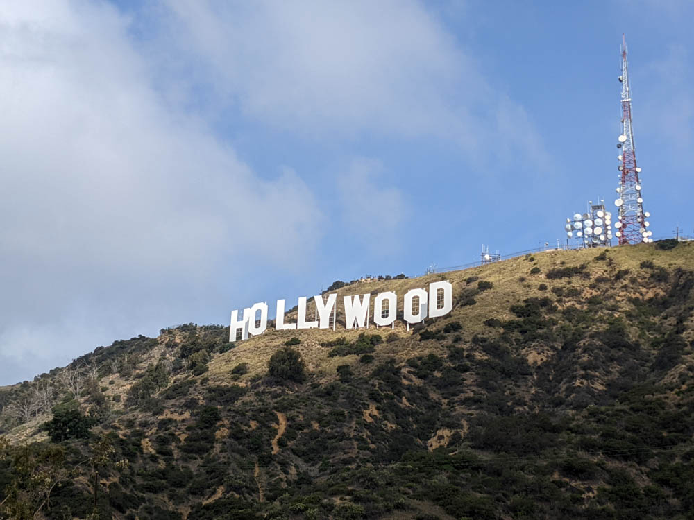
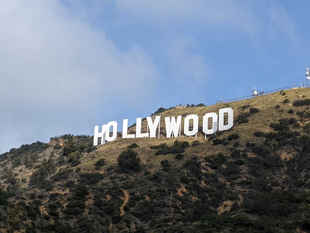
You’ll come to a T- junction and you must choose right or left. If you want to see the sign from the back (my goal) you head to the right. If you don’t want more of a steep climb head to the left and see the sign from the front along the trail leading to the Tyrolian Tank. I went right first and then headed towards the front of the sign too.

As you start to the right you might find that some people scramble up a trail. It’s off the main road and can add a little fun to your hike. Or you can skip it like I did and stick to the road which will lead you back around to where it comes out.
You’re now almost to the top. You wrap around behind the summit of Mt. Lee and when you see the fence you’re almost there.
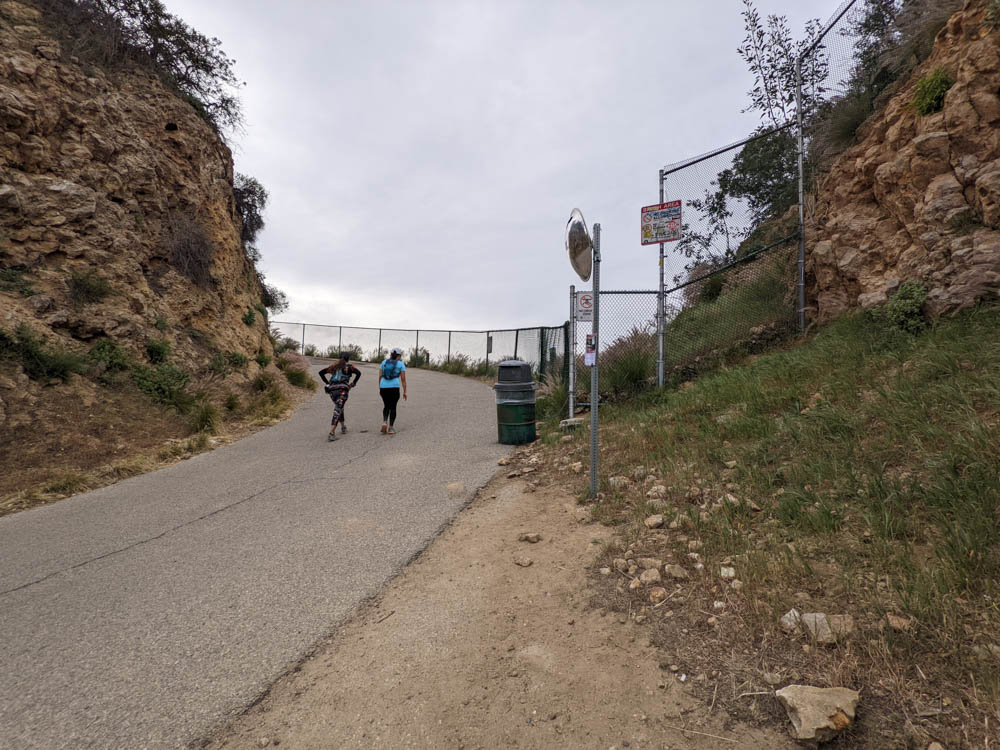
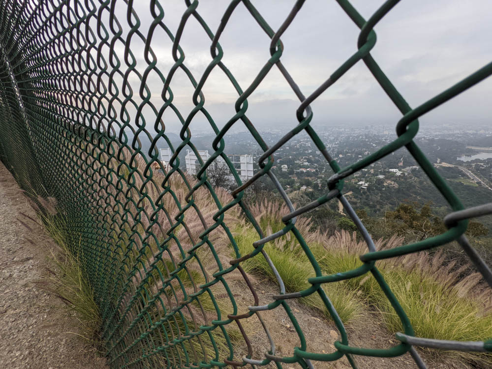
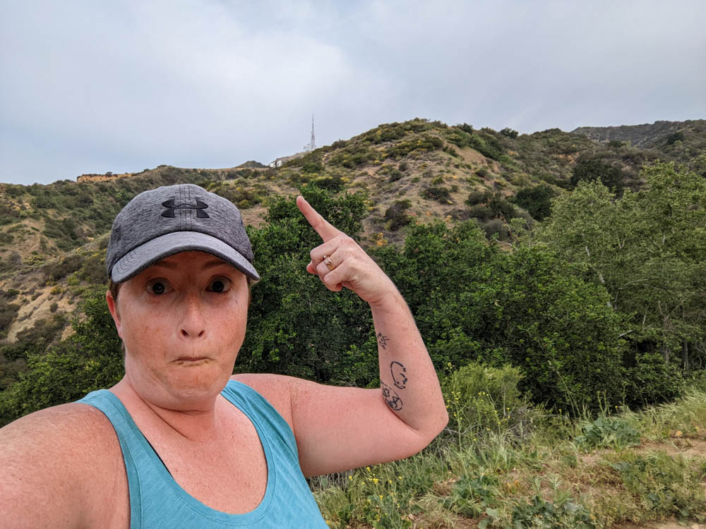
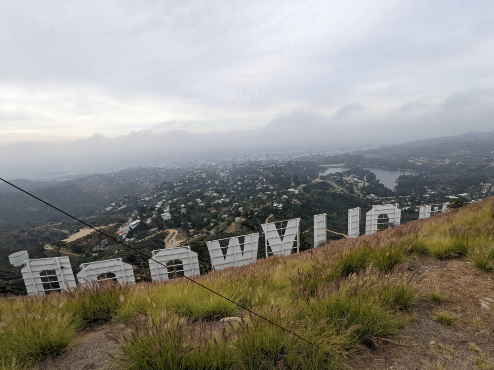
Once you follow the fence you’ll see the actual summit which is a large rock. Climb up on to it for a good view of the Hollywood Sign from the back without the fence obscuring your view. You cannot go “to” the back of the Hollywood Sign. You’ll get a fine and it’s monitored by someone at the summit in a bunker.

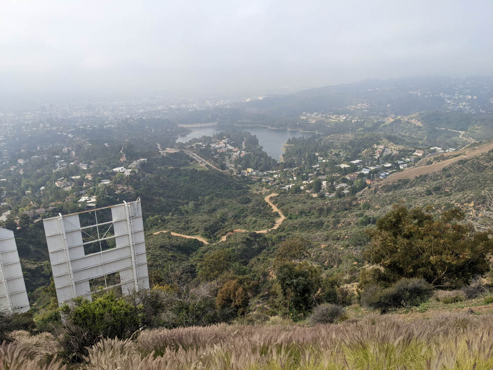
Now I went back down around the summit of Mt. Lee and back towards the T-junction to head towards the Tyrolian Tank for pictures from the front. This large open space is a great place to rest, get selfies and pictures, as well as to have a little picnic if you’ve brought it along before you head back to your car.

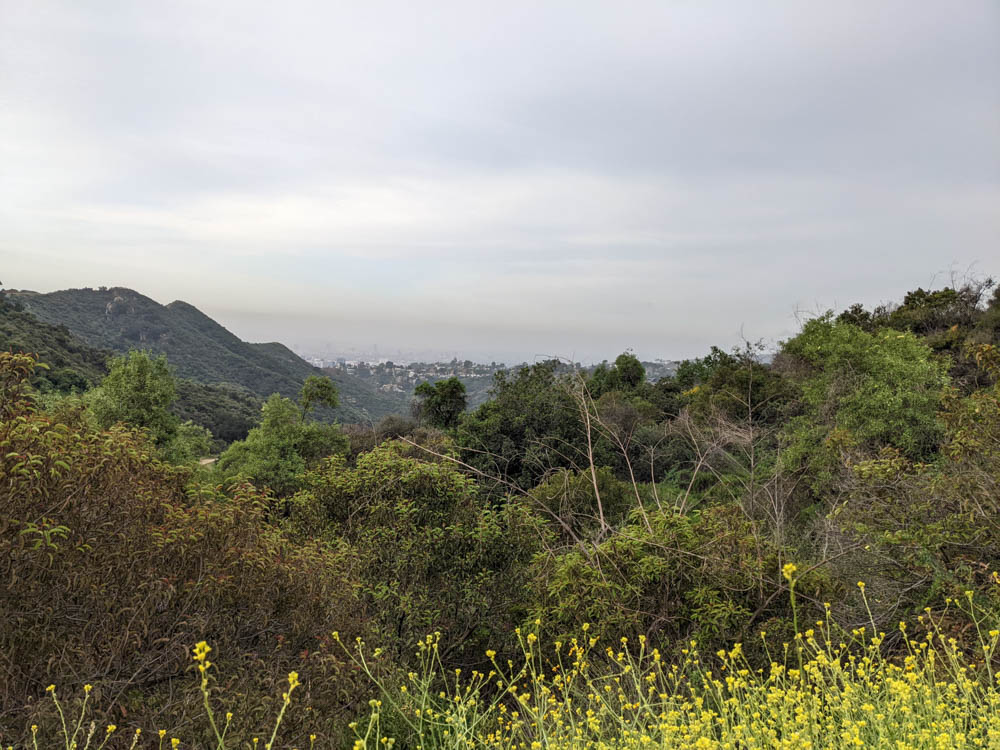
The way back down is just as straightforward. I took about 3 hours total for my hike at my own pace, a few stops for drinks and pictures and maybe 15 minutes at the back and front picture spots. It was ~6 miles total. I recommend doing the hike if you’re visiting or if you live in the local area. It was a great way to get out of the city and find yourself among nature.
Shae-that was great! I’ve always been intrigued by that sign, saw it when we were in California many years ago but never got close. Thanks for the tour!
This was really helpful – thank you!