Due to COVID-19, we did very little during our 3.5 weeks in Albuquerque other than going to the grocery store and occasionally taking Truffles to the dog park.
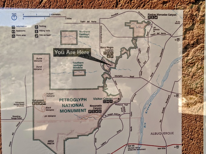
The exception to that was Petroglyph National Monument which was only a 15 minute drive from where we were staying. Petroglyph National Monument is spread out across 17 miles with several sites and hiking trails where you can see many of the petroglyphs. We visited most of the sites during our stay, so for the next few days I’ll be sharing more about each one – today’s is Boca Negra Canyon.
Before doing that though, here are answers to some questions you might have.
What Is A Petroglyph?
A petroglyph is an image carved into rock through a variety of different methods.
What’s The Difference Between A Petroglyph & A Hieroglyph?
A hieroglyph is a picture which was used more as a form of communication. A petroglyph on the other hand seems to have been used more as a form of art.
How Many Petroglyphs Are There At Petroglyph National Monument?
There are thought to be more than 20,000 petroglyphs at Petroglyph National Monument, with estimates ranging from 21,000-24,000, but possibly more.
Who Created The Petroglyphs At Petroglyph National Monument?
Around 90% of the petroglyphs across these sites were created by the Pueblo people from 1300-1700 AD, with the remainder mostly being created by early Spanish settlers post-1700. There are other petroglyphs which are thought to date back 3,000 years, but those are in the minority.
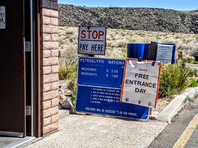
The first of the Petroglyph National Monument sites we visited was Boca Negra Canyon which has a couple of trails. This particular site usually charges $2 for parking at the weekend and $1 during the week, but we happened to visit on a free entrance day. I think it would’ve been free for us anyway seeing as we bought a National Parks pass while at Saguaro National Park recently, but we didn’t have to check.
The main trail at Boca Negra Canyon is the Mesa Point Trail which involves walking to the top of this hill/mini-mountain.
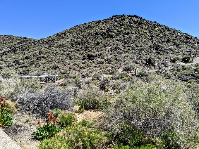
Mesa Point Trail
The Mesa Point Trail might look a little daunting, but it’s actually much easier to climb than you might expect it to be. That’s because you’ll be stopping pretty frequently to look at the petroglyphs along the way, so it’s not a constant, strenuous uphill walk.
One thing to note is that although the other trails at Petroglyph National Monument are pet-friendly, dogs aren’t allowed on the Mesa Point Trail. While that would normally be disappointing for us as we like to bring Truffles hiking, she’d actually hurt her hind leg playing at the dog park a few days beforehand, so we wouldn’t have brought her even if we could.
At the start of the trail and along the way you’ll see some signs that provide more details about the petroglyphs.
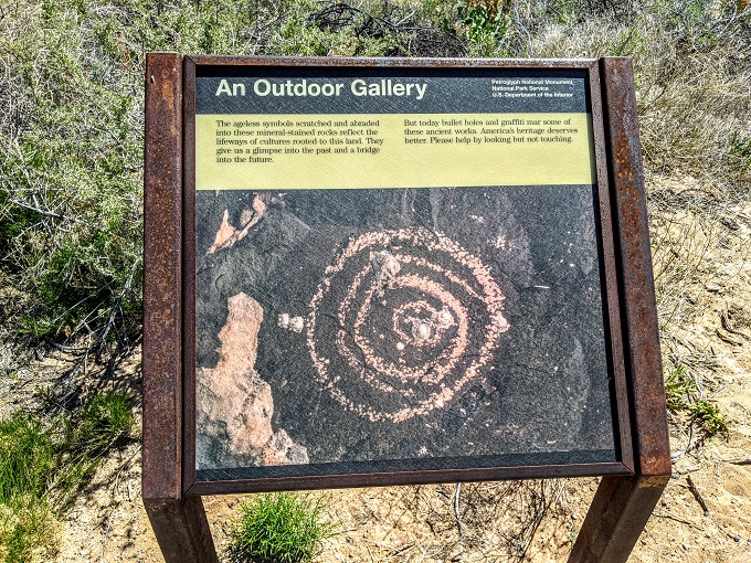
Keep an eye out for petroglyphs from the start of the trail as you’ll start seeing them almost straight away.
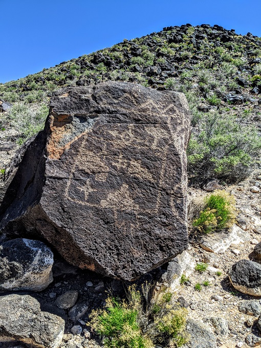
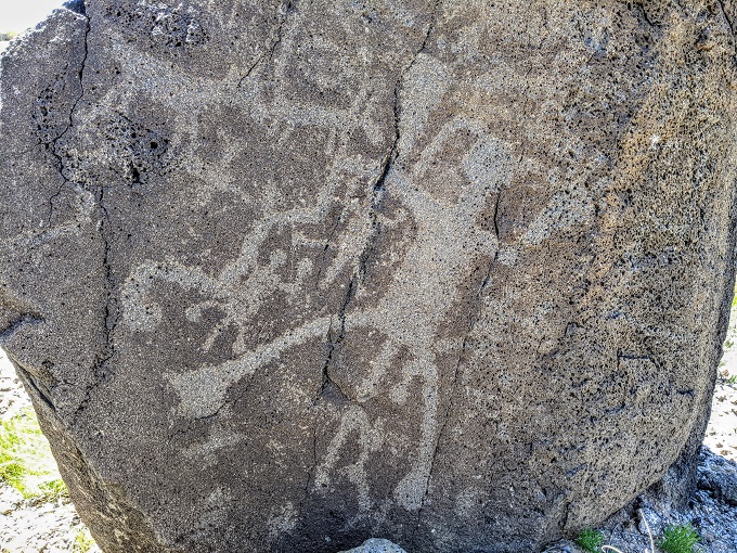
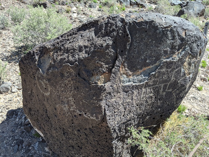
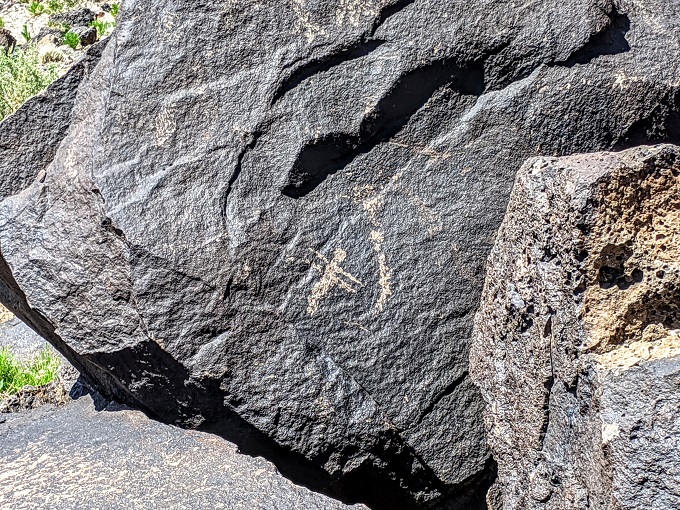
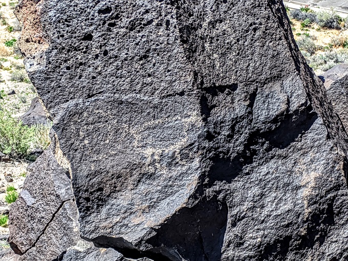
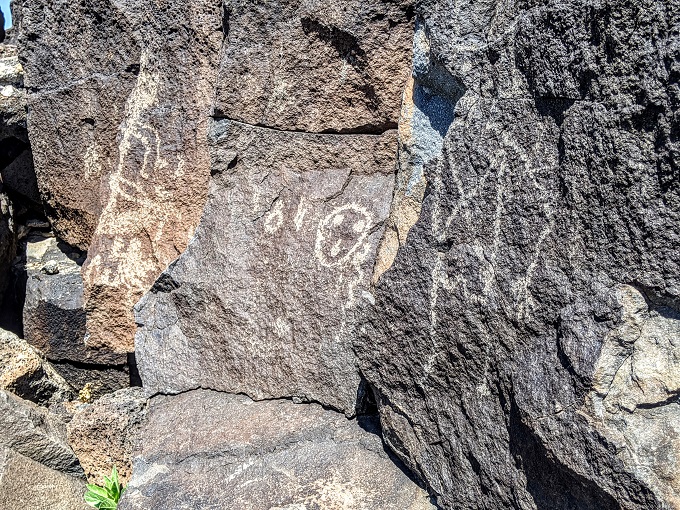
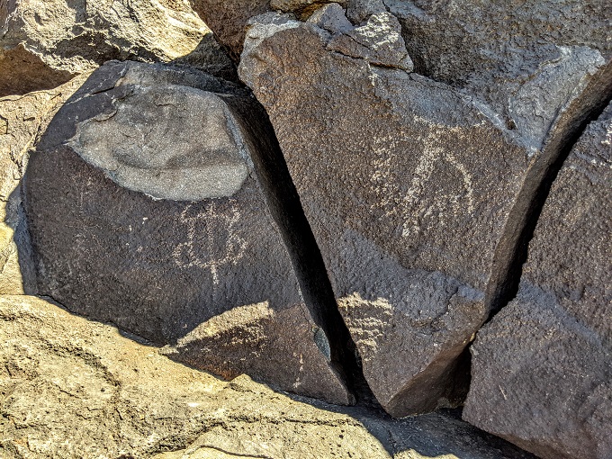
There are all kinds of different images to be found carved into the rocks, but it’s not clear what all of them are and if there’s any kind of meaning behind them beyond being art.
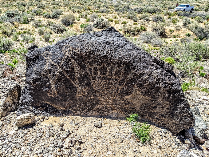
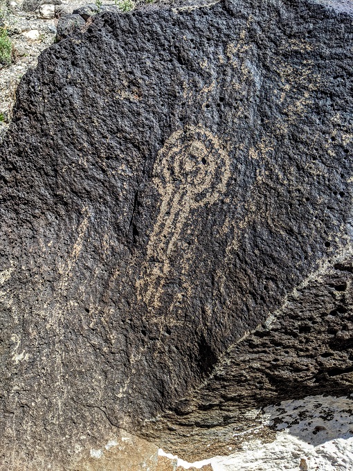
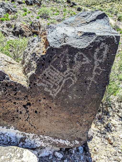
Much of the Mesa Point Trail is an inclined dirt path, although there are the occasional steps along the way.
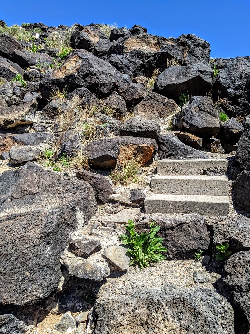
As you walk slowly up the hill looking for the petroglyphs, you’ll suddenly find yourself halfway up without even realizing it. There are some nice views of the surrounding area from this vantage point.
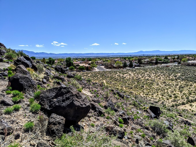
When facing the opposite direction you’ll see the remains of past volcanic explosions. As one of the signs along the trail explains:
This geologic landscape was created 200,000 years ago by a series of six volcanic eruptions. You will see the linear cinder cones that erupted from a fissure (a crack in the Earth’s crust) which produced non-violent lava flows.
After the eruptions ceased, the basalt deposits fell victim to weathering (the physical breakdown of rocks due to flash floods, high winds, atmospheric gases, acids and organisms). The weathering of the basalt flows over tens of thousands of years created this eroded edge of broken basalt boulders, called a volcanic escarpment.
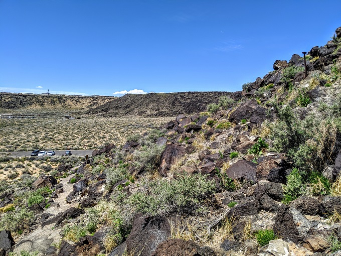
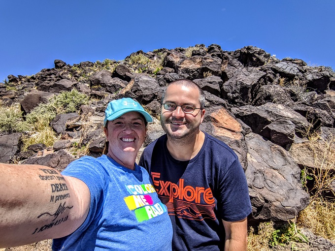
In addition to the petroglyphs, you’ll see other historical features. One of those is a boulder which was used as a grinding surface by the Pueblo people. They’d grind seeds, sharpen tools, grind flower petals to create powdered pigments and more.
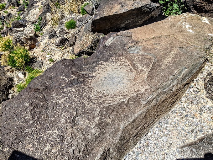
As you continue ascending the Mesa Point Trail, there are tons more petroglyphs to see.
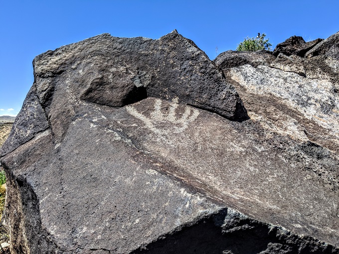
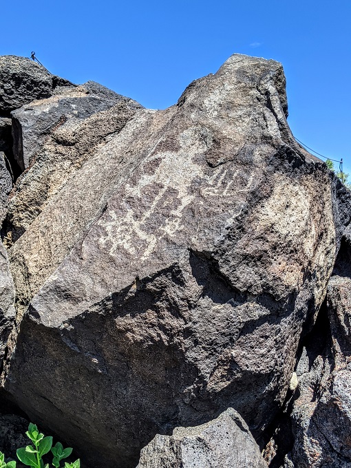
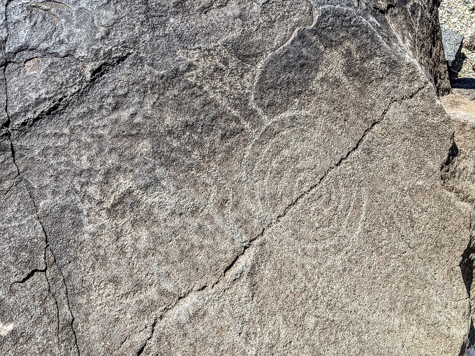
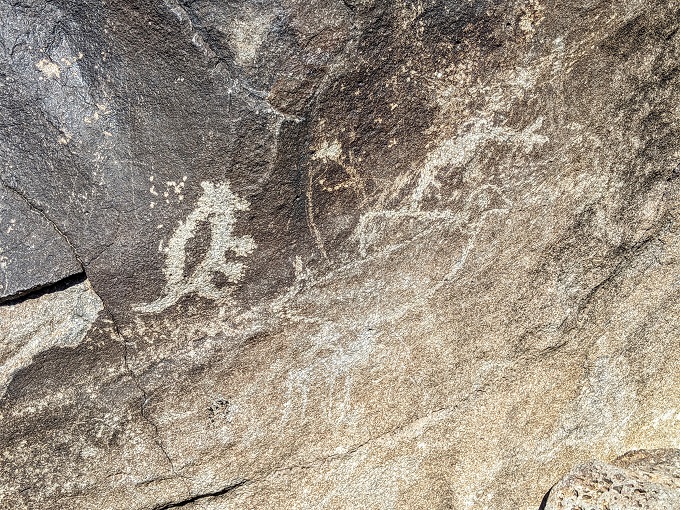
The Mesa Point Trail at Boca Negra Canyon takes you much closer to the petroglyphs than the other sites that are part of Petroglyph National Monument. You’re not allowed to touch any of the petroglyphs though because the oils on your hands will damage them.
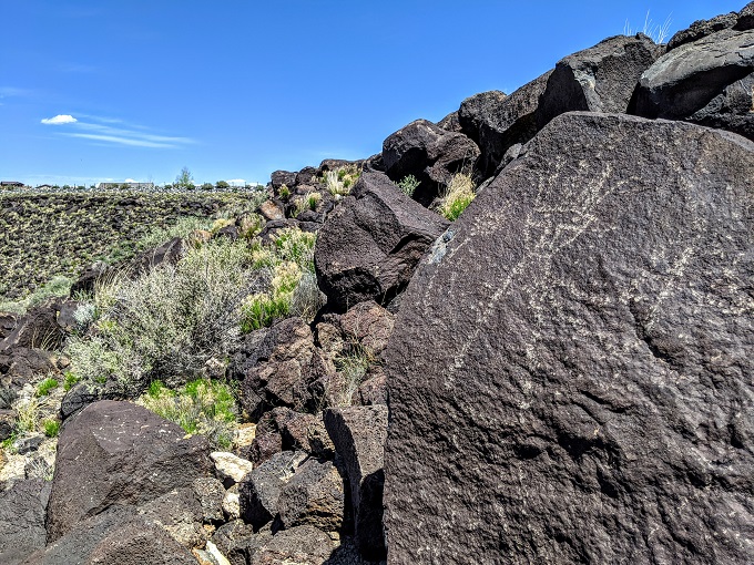
At the top of the Mesa Point Trail you’ll find horseshoe-shaped rock structures. These have eroded over time, so they were likely once much taller.
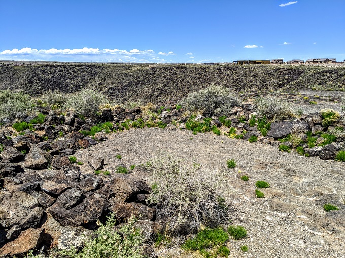
It’s thought these structures were used as hunting blinds, as well as to provide shelter for the Pueblo people.
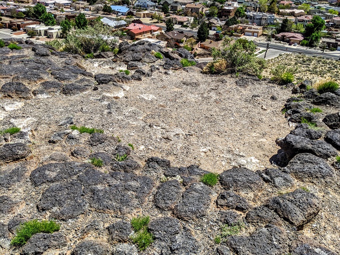
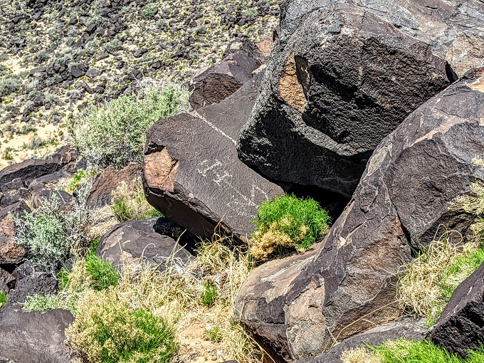
Once you’ve taken a look around at the top of the site, you’ll follow the trail back down. Despite taking the same trail for most of the way back to the parking lot (it branches off at one point on the way down), be sure to keep looking out for petroglyphs while descending because we saw many different ones on the way down because we were facing the opposite direction.
Macaw Trail
After finishing the Mesa Point Trail, Shae and I walked along the wooden boardwalk to head towards the Macaw Trail, the other trail in Boca Negra Canyon. You don’t have to walk this short section if you don’t want to as there’s another parking area at the start of Macaw Trail.
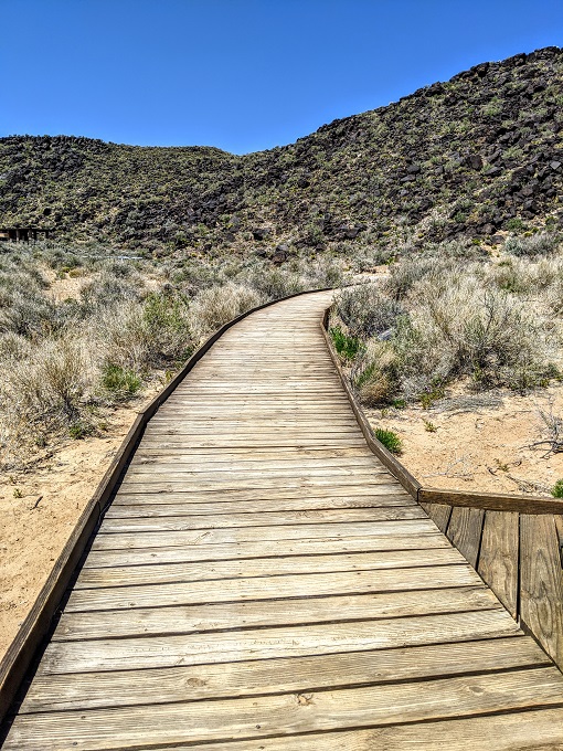
Along the path there are a few covered picnic tables, with restrooms at the end. The restroom area has signs providing more information about Petroglyph National Monument including its history, how the petroglyphs were created, etc.
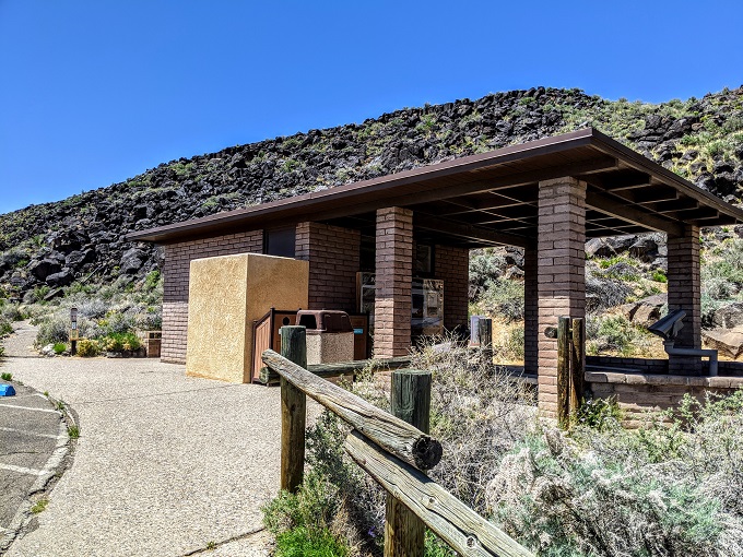
The Macaw Trail starts just past the restroom building and is a very short trail. While the Mesa Point Trail is about half a mile round trip, the Macaw Trail is closer to 1/8 mile.
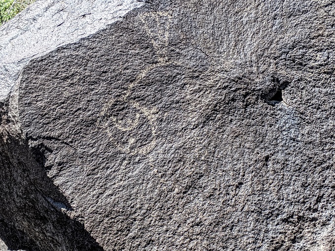
One of the nice features of the Macaw Trail is that there’s a replica petroglyph created on a boulder using cement and dyes. You’re allowed to touch this replica, so if you’re visiting Petroglyph National Monument with small kids who’d want to touch the real petroglyphs, it might be worth stopping by the Macaw Trail first to let them touch this one.
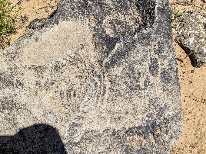
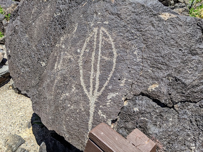
One of the real petroglyphs you’ll find on the Macaw Trail is of a yucca pod, a plant that was very important to the Ancestral Puebloans because they used all parts of the yucca plant. As explained on one of the informational signs at Petroglyph National Monument:
The root, flowers, fruits, and seeds could all be eaten. Yucca leaves were woven into baskets, mats, sandals, hunting nets or made into paint brushes and needles. In addition to being a source of food, native plants were also used medicinally. Grinding slicks (bowl-shaped basalt boulders with smooth light-gray patches) may have been used to grind native plants into a powder or mush which could then be prepared into medicine.
In addition to the Mesa Point Trail and Macaw Trail, Boca Negra Canyon has a third trail – the Cliff Base Trail. We didn’t end up walking along that trail though; instead, we drove over to another of the Petroglyph National Monument sites – Piedras Marcadas Canyon.
Hi! I have read your visit to Boca Negra canyon, I ask you: is there a map with the trails? Is it possible to know how far away each trail is?
I will appreciate the information!
Yep, you can find a map here: https://www.nps.gov/petr/planyourvisit/maps.htm