I loved the (almost) two weeks that we spent in Los Alamos, New Mexico as there was so much beauty in the area.
Bandelier National Monument, Tsankawi Prehistoric Sites, the Kwage Mesa Trail and more – everywhere we looked there were mountain, mesa and/or canyon views.
Not far from the town of Los Alamos was a much smaller town called White Rock which we’d heard had equally beautiful views and great hiking, so Shae, Truffles and I headed there one afternoon to go for a hike.
White Rock Overlook
Before setting off on the hike, we drove down to the White Rock Overlook Point parking lot.
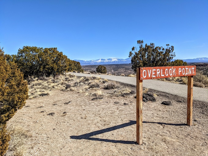
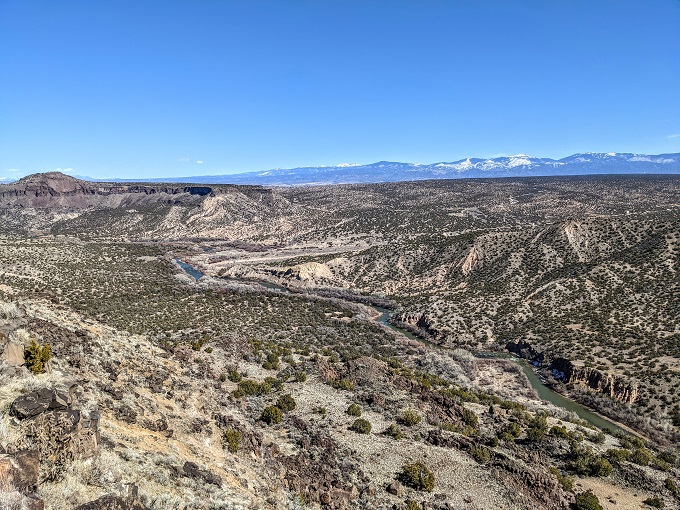
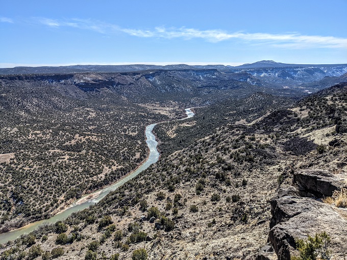
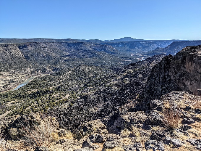
If you don’t want to hike and just want beautiful views, this is the place for you. The overlook has mountains in the distance and White Rock Canyon below with the Rio Grande running through it.
Blue Dot Trail
After checking out the overlook, we drove the quarter mile back up the road to the Blue Dot Trailhead. You can find a link to the parking lot on Google Maps here in case you want to get directions. It’s right next to Overlook Dog Park which looked like it was a nice dog park with separate sections for small and large dogs.
Truffles didn’t need to go for a run around in the dog park though as she was about to get some good exercise on the Blue Dot Trail. It’s only 1.1 miles each way, but it’s a strenuous 1.1 miles in both directions.
The signs for the Blue Dot Trail and Canyon Rim Trail were a little faded, but we could see enough that we knew we had to head straight ahead for the Blue Dot Trail.
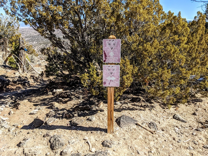
Truffles decided that she wanted to lead the way. You’ll want to make sure you have hiking boots on as the trail is rocky and has a lot of loose rock, so it could be easy to lose your footing. Given how steep it is, there are switchbacks all along the way to make it a little easier and safer.
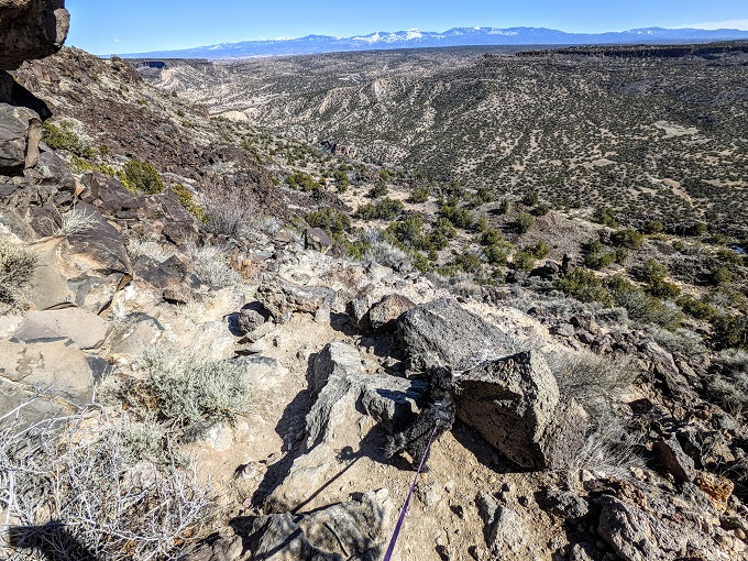
Once you’re on the Blue Dot Trail it’s pretty simple finding your way as there’s only one trail down. Still, keep an eye out for blue dots on rocks if you’d like confirmation you’re heading the right way.
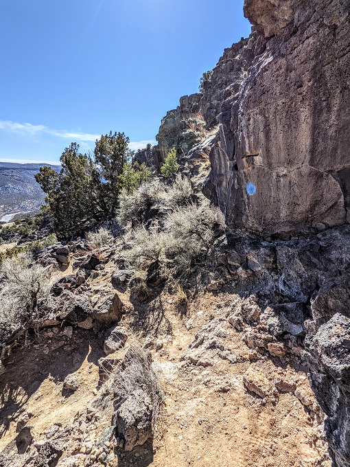
There were huge volcanic explosions a million years ago in the area which is what formed Valles Caldera. On the way down you’ll see a huge pile of boulders made of what’s clearly black volcanic rock.
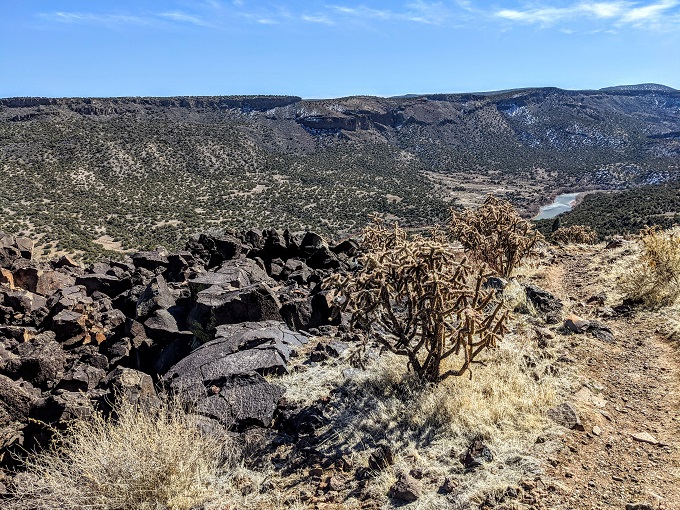
The trail is fairly steep all the way down, so even though it’s all downhill it’s still a pretty good workout for your legs.
We ended up coming to the end of the trail without me realizing it at first. At the bottom of the hill there was a wooden post which I somehow missed until Shae pointed it out.
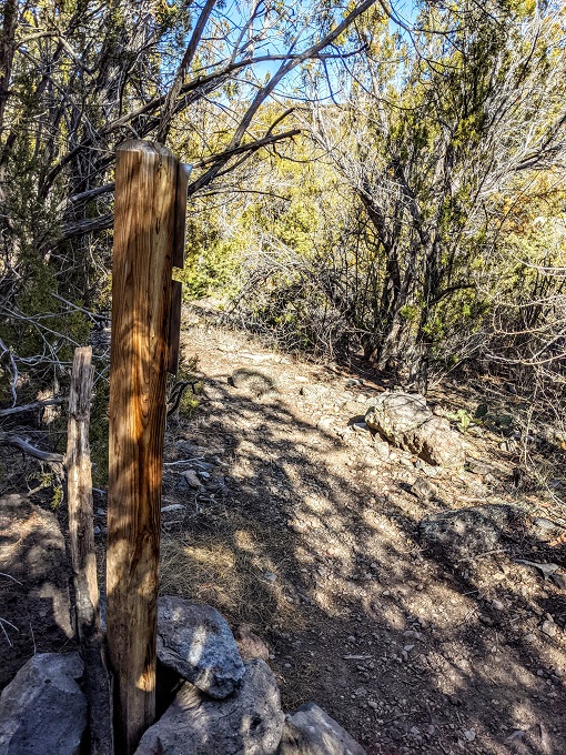
On the other side of the post you’ll see that it points back up to the Blue Dot Trail where you came from, or you can head off to the left or right to continue on the River Trail.
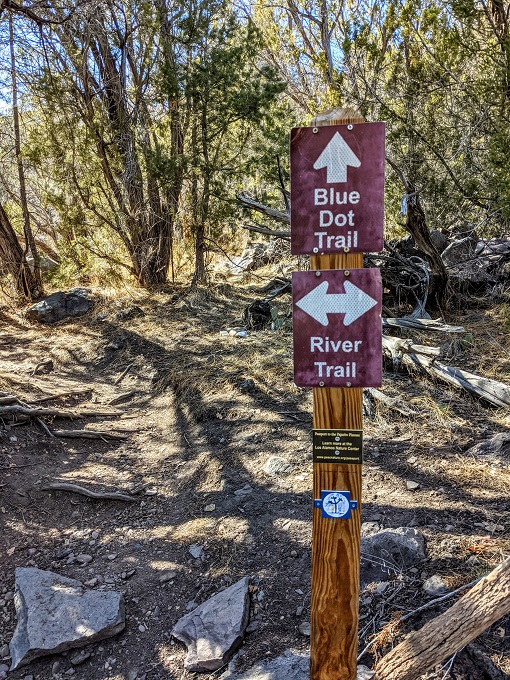
We set off in one direction on the River Trail, then decided to head back the other way. We were looking for a good spot to stop by the river to have our lunch, but when looking on Google Maps it looked like even though the River Trail followed alongside the Rio Grande, it didn’t seem to actually go down to the river.
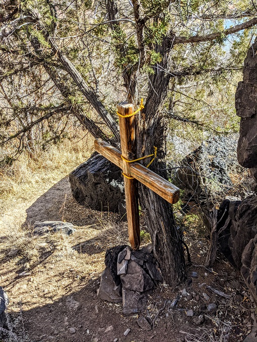
Shae, Truffles and I therefore headed back to the wooden marker, then made our way down to the river via a fairly well-worn but seemingly unofficial trail, passing a memorial along the way.
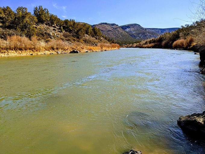
There was a pile of boulders off to the right, so we sat there for lunch overlooking the Rio Grande.
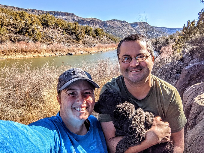
We took a quick family photo for the road trail, then headed back up the Blue Dot Trail.
Unsurprisingly given how steep the hike down felt, the hike back up felt extremely steep too! Pausing to catch our breath was no bad thing though as it meant we got to turn around and enjoy the views on the way back up too.
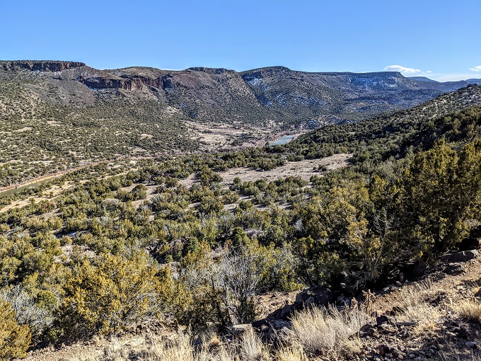
Canyon Rim Trail
Our legs were a little tired by the time we reached the end of the Blue Dot Trail, so we headed back to our Airbnb in Los Alamos. The following week I decided to return with Truffles to hike the Canyon Rim Trail while Shae was working on stuff.
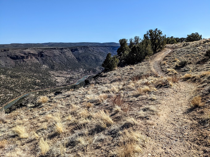
We parked in the Blue Dot Trailhead parking lot again, then headed down to the marker we’d seen the previous week. Rather than heading straight ahead on to the Blue Dot Trail, we headed off to the right on the Canyon Rim Trail (we could’ve gone left too).
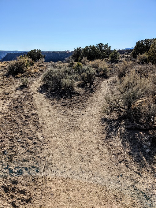
I was a little confused by the trail at first because it kept splitting off but didn’t have any trail markers advising which way we were supposed to take. I therefore decided to take the left path each time to remain closer to the canyon; it wasn’t until a little later on that I realized that each time the trail forked off in different directions, the two paths ended up rejoining shortly after.
The Canyon Rim Trail is much easier than the Blue Dot Trail as it’s mostly flat. You’ll want to take plenty of water with you in the summer though because there’s very little shade. Truffles and I hiked the trail at the beginning of March when it was about 55° F (13° C). Even though it wasn’t hot, I was still glad I’d brought enough water and my face caught some color from the sun shining down that afternoon.
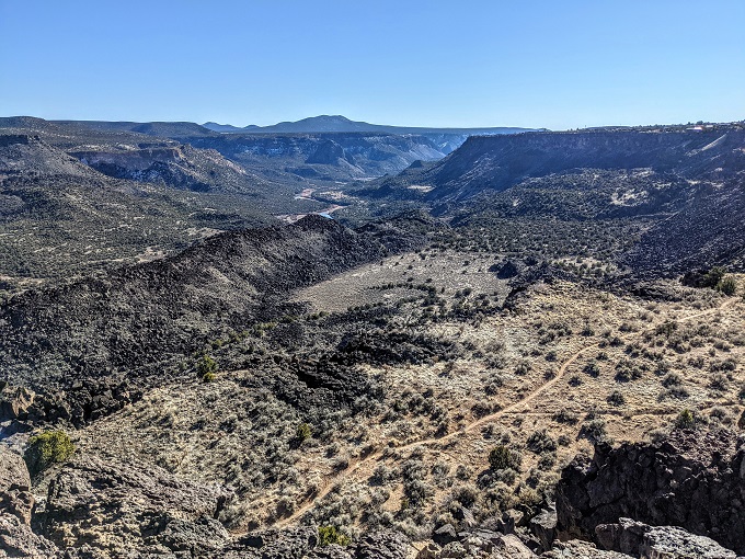
After a little while we started seeing some trail markers, so these sections where the trail diverged presumably didn’t meet back up.
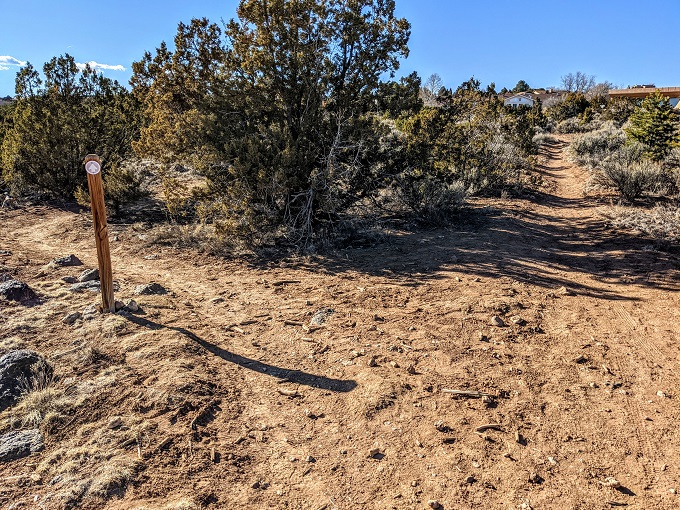
The canyon started getting more shallow and the trail started heading towards a neighborhood.
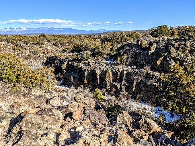
I thought that I’d missed a trail marker at some point because what I thought was still the Canyon Rim Trail ended up leading me to the end of someone’s driveway and into a street running through their neighborhood.
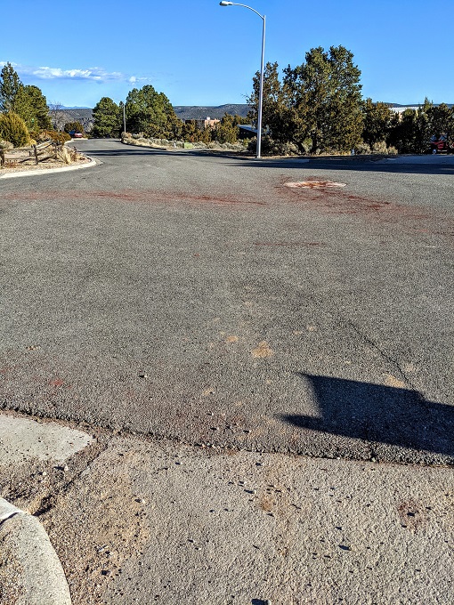
I don’t have the best sense of direction, so I took a look at Google Maps on my phone to make sure I was at least heading in the general direction of the trailhead parking lot. Walking down the road, I eventually came to a different trailhead parking lot.
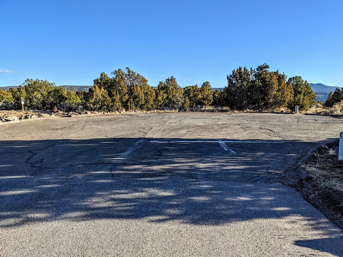
I’d passed this parking lot on the way, so I figured the best thing to do was to just get back on the same trail that I’d taken, but heading back towards the car.
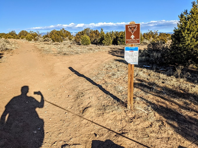
That seemed like the safest idea as it meant I wouldn’t get lost on the way back.
Except I did!
At some point I must have missed another trail marker pointing back to the lot where I’d parked the car. I wasn’t far from the parking lot itself, but unfortunately there was a long metal fence which was too high for me to climb over with Truffles, so we ended up walking back and forth until we eventually found our way to a different path that led to a gap in the fence and eventually back to the parking lot.
In hindsight, I realize what my problem was. For some reason I had it in my head that the Canyon Rim Trail was a loop trail. It’s not – it’s an out and back trail. I must therefore have gotten to the end of the trail earlier on and ended up continuing into the neighborhood rather than heading back. Oh well, it was good exercise and meant that Truffles was plenty tired by the end of it.
Final Thoughts
Los Alamos is home to lots of hiking and other attractions, but it’s also worth paying a visit to nearby White Rock to check out the views of White Rock Canyon from the overlook and to do some hiking while you’re there if you’re up for it. Just try not to get a little lost like I did 😉
Hello! I have read your post about Whaite Rock Canyon and I found it very interesting.
I ask you: where can I get a map with the trails?
I will appreciate your information!
I don’t know if there’s an official website with any kind of trail map available, but AllTrails is always helpful for this kind of thing: https://www.alltrails.com/trail/us/new-mexico/white-rock-canyon-rim-trail